Mary Kathleen: A Uranium Ghost Town
Mary Kathleen was on our list for a quick photo the first time we stopped here. We were making the run between Cloncurry and Mount Isa, watching the Selwyn Range roll past, when we turned off to see what was left of a town that no longer exists. We ended up staying the night, camped on the concrete slab of somebody’s long-gone lounge room, and it turned into one of the coolest stops of the whole trip.
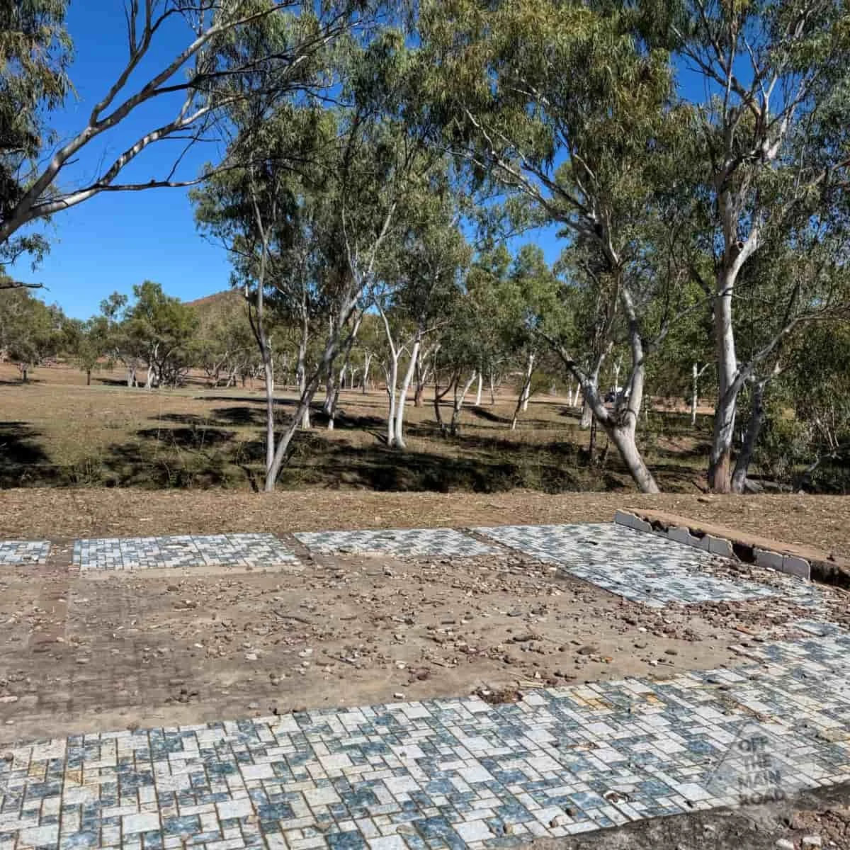
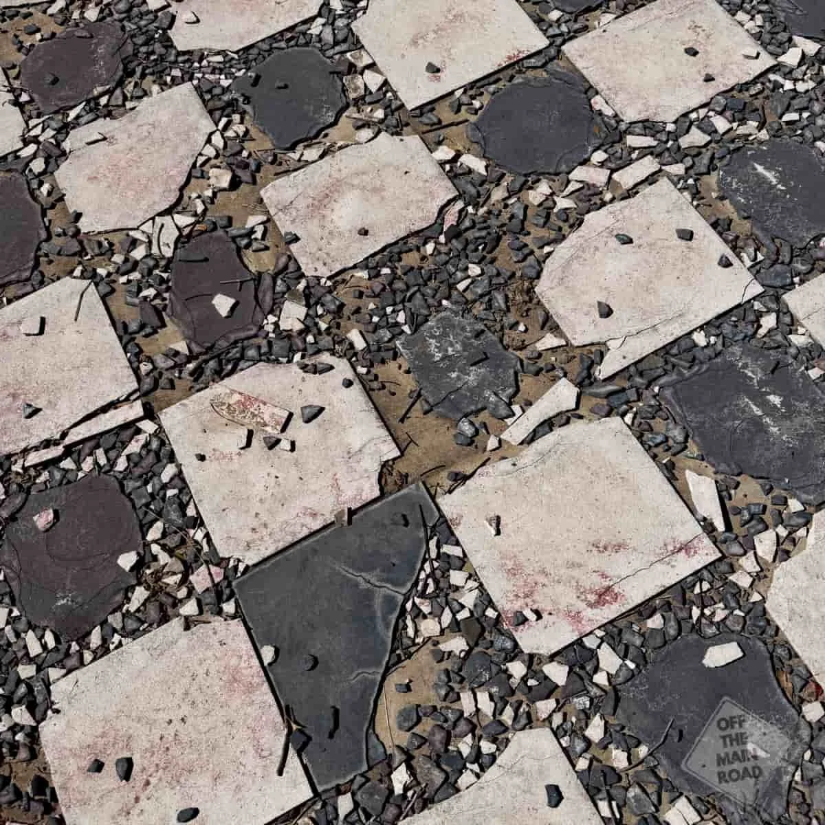
There is not much left of Mary Kathleen now. A grid of empty streets. Cracked footpaths going nowhere. Concrete slabs where the houses stood, a roundabout with no traffic, the outline of a swimming pool. But that is exactly what makes it so cool. You are camped in the middle of a town that once housed more than a thousand people and now has nothing but fellow campers, the wind, and a few cattle wandering through the old suburbs like they own the place. Which, in fairness, they now do.
The story of how it got here and how it vanished is worth knowing before you visit, because it changes how the place feels.
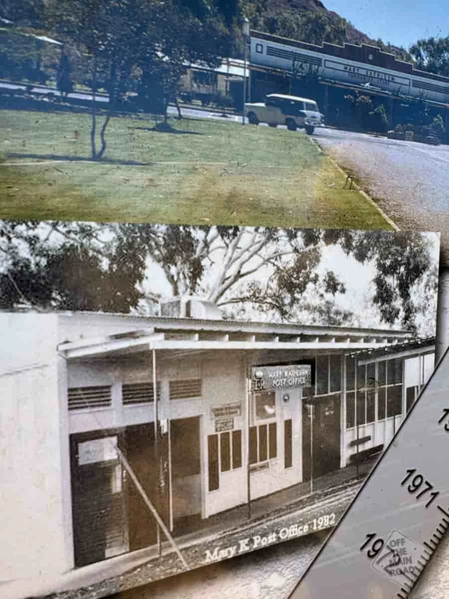
Uranium was found in this area in 1954 by two prospectors, Clem Walton and Norm McConachy. The deposit and the town that followed took their name from McConachy’s late wife, Mary Kathleen. Rio Tinto formed a company to work the area, and between 1956 and 1958, an entire town was built from scratch, architect-designed, laid out to sit gently in its shallow valley, with reticulated water piped in from a dam on the Corella River. This was no rough mining camp. Mary Kathleen had a school, a hospital, a cinema, banks, sports ovals, a community store, and more than two hundred homes. People who grew up there remember it fondly, dressing in their Sunday best for community functions, and fresh milk from the store as a treat.
The mine operated by the open-cut method, digging uranium ore from the ground and processing it on-site into yellowcake. The first phase supplied the United Kingdom’s atomic program. But by 1963, that contract had been filled ahead of schedule, and just like that, the town went quiet. Most people left. Only a handful of families stayed on as caretakers while the gardens withered and the lawns turned to weeds.
Then, in 1974, it woke up again. New contracts with power utilities in Japan, Germany and the United States brought the mine back to life, and the population climbed to a peak of around twelve hundred by 1981. Mary Kathleen even fielded an Australian Rules side that won three flags in a row in the Mount Isa league. But the second life was short. The ore ran out, and in 1982 the mine closed for good.
What happened next is the part that gives the place its strange, swept-clean feeling. In 1983, the entire town was sold at auction, one of the largest sales of a complete town in Australian history. Houses, machinery, public buildings, streetlights, the lot. Buyers pulled the structures apart and carted them off, much of it to Cloncurry. By the end of 1984, there was nothing left but slabs and roads. The site was then rehabilitated, Australia's first major uranium mine rehabilitation, and the land handed back to grazing.
So when you camp here, you are not camping in a town that fell down. You are camping in a town that was deliberately taken away, piece by piece, and the emptiness has an oddly peaceful quality because of it. Despite its eerie history, the campsite felt peaceful and had a great vibe. There’s something special about staying where nature is reclaiming the land, and we felt an unexpected sense of calm.
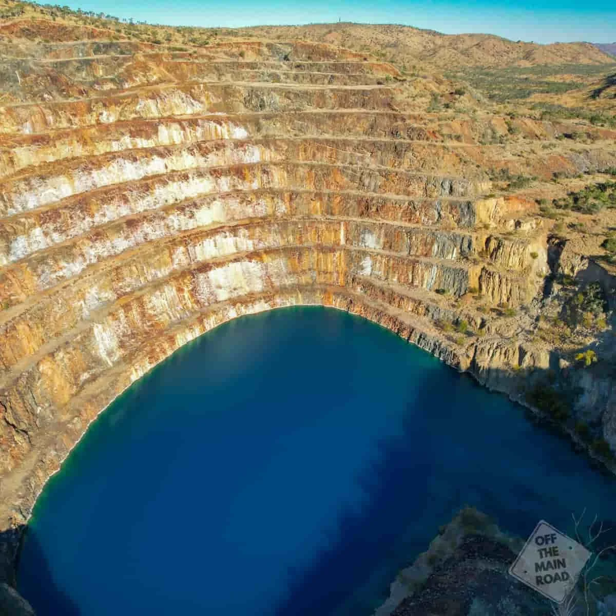
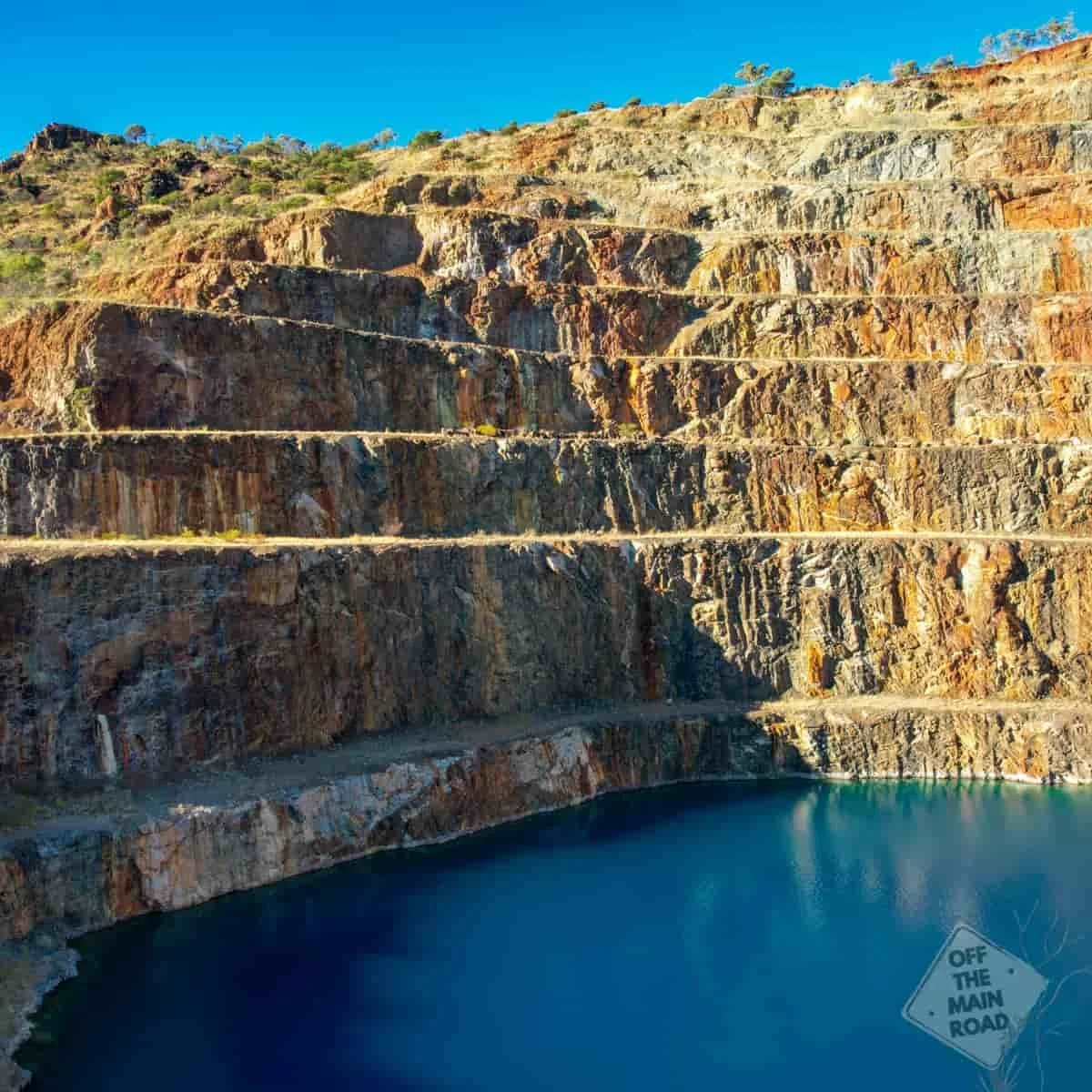
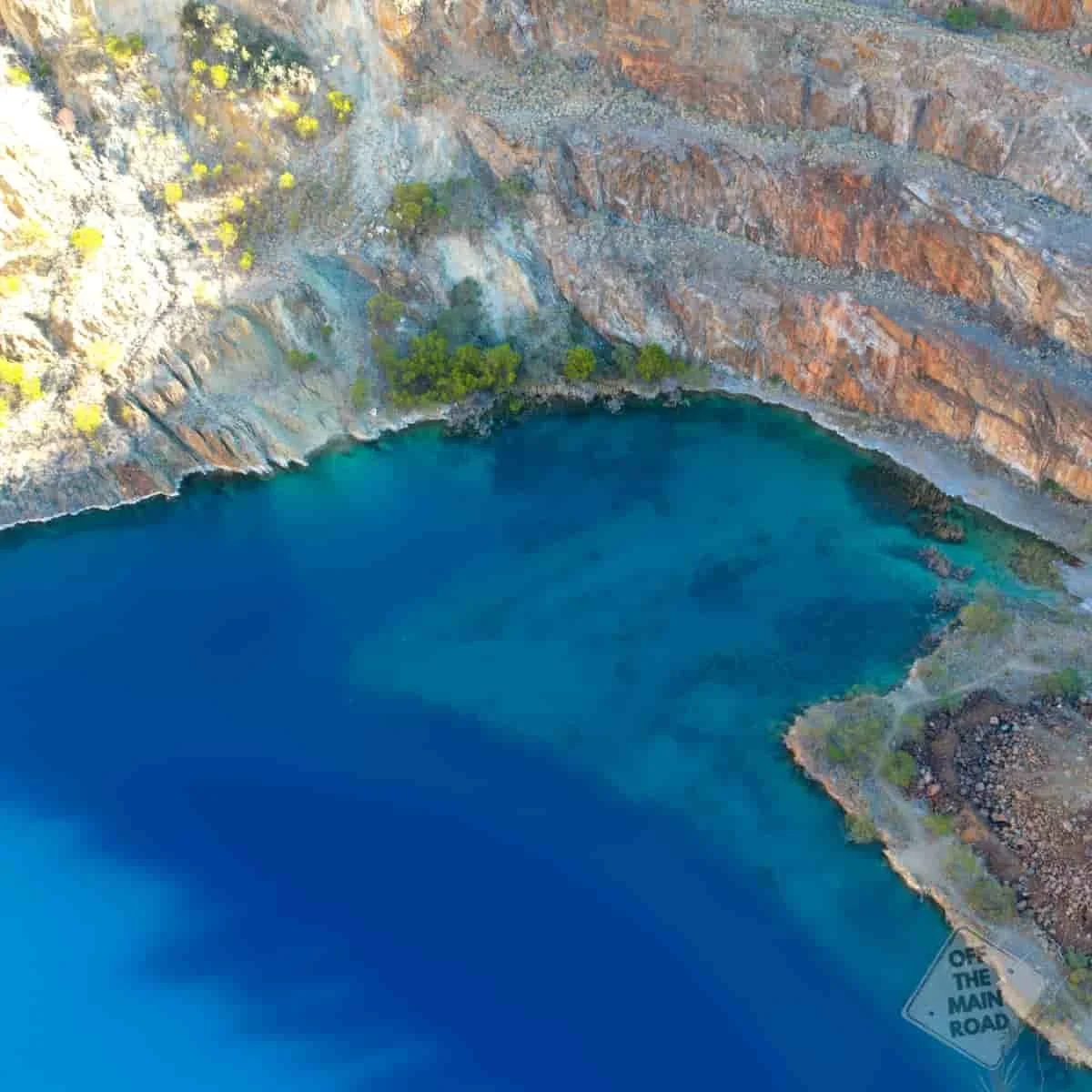
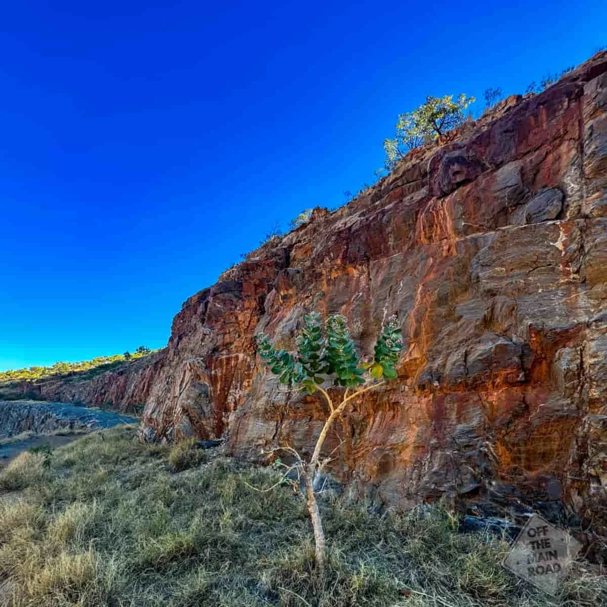
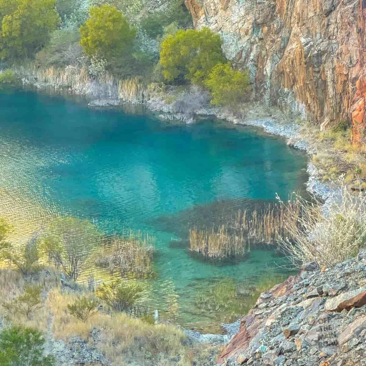
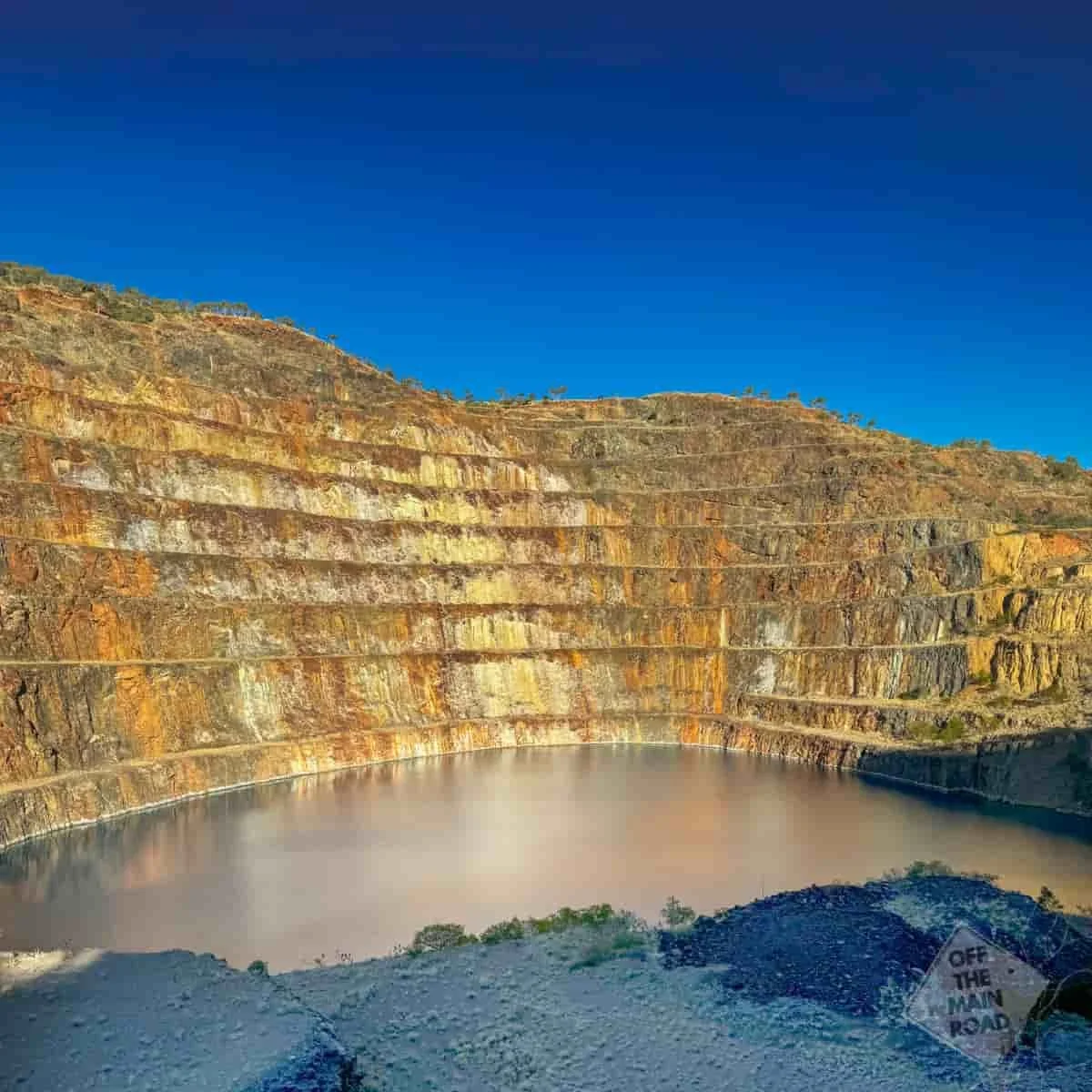
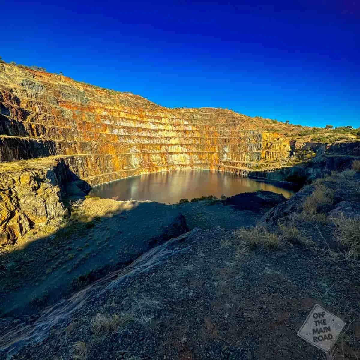
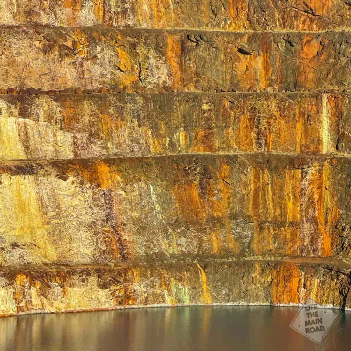
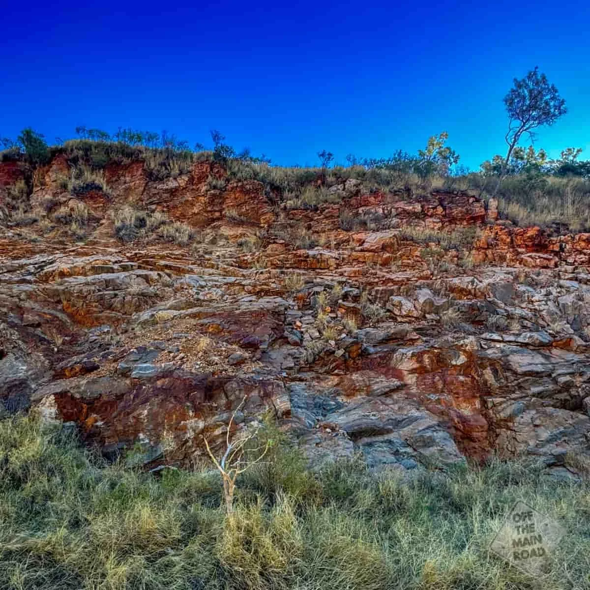
The highlight of our visit was exploring the old mine site. The drive out to the open-cut pit was a short adventure in itself, with rocky tracks winding through the rugged terrain. When we reached the top, the view took our breath away. The water filling the mine pit glows an otherworldly turquoise, creating a stunning contrast against the rusty red cliffs. It’s surreal to think this was once a hub of industry, mining uranium for global use.
Walking around the area, we found rusted equipment, concrete slabs, and signs of the mine’s past life. It’s a stark reminder of how industries can boom and fade, leaving behind both scars and beauty.
Despite the town’s abandonment, the site feels alive with a different kind of energy. One shaped by the land and those who pass through. We’re glad we stopped and stayed. Mary Kathleen has quickly become one of our favourite campsites in the country. Quiet, peaceful and interesting.
If you like a stop with a story, our Travel Dispatch is full of them. You can sign up HERE
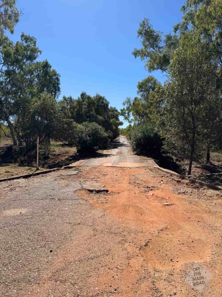
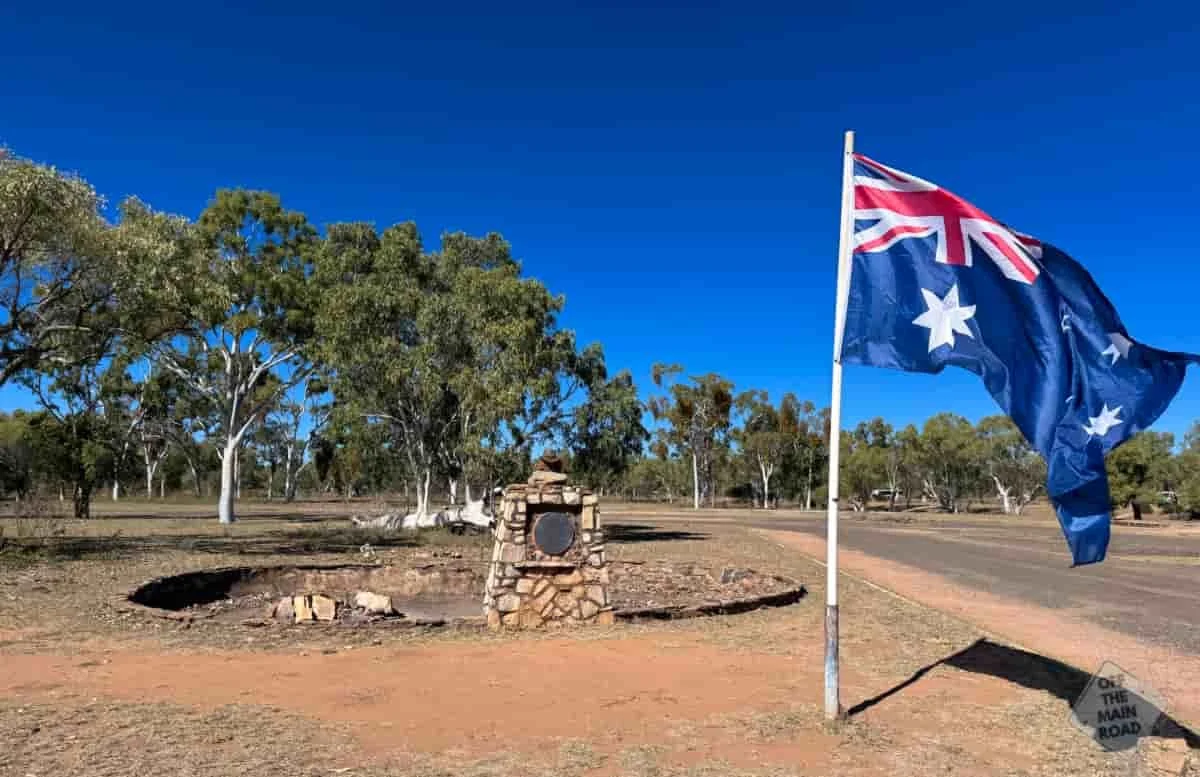
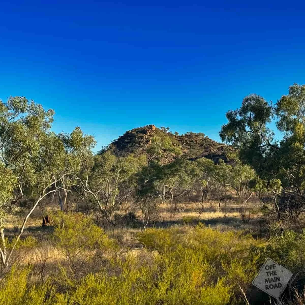
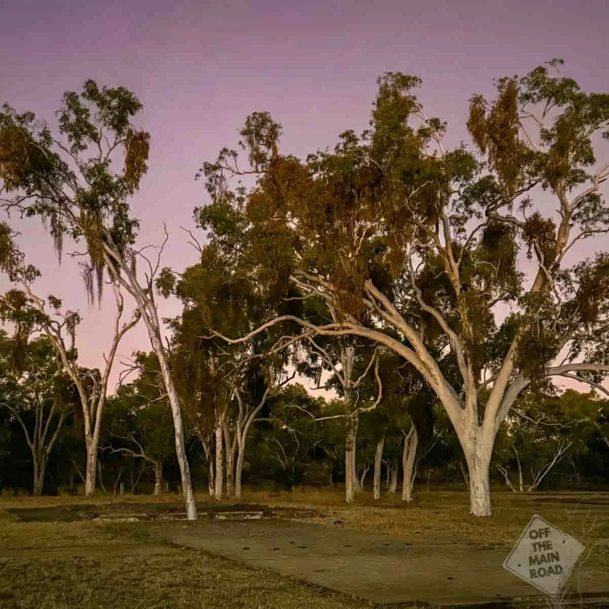
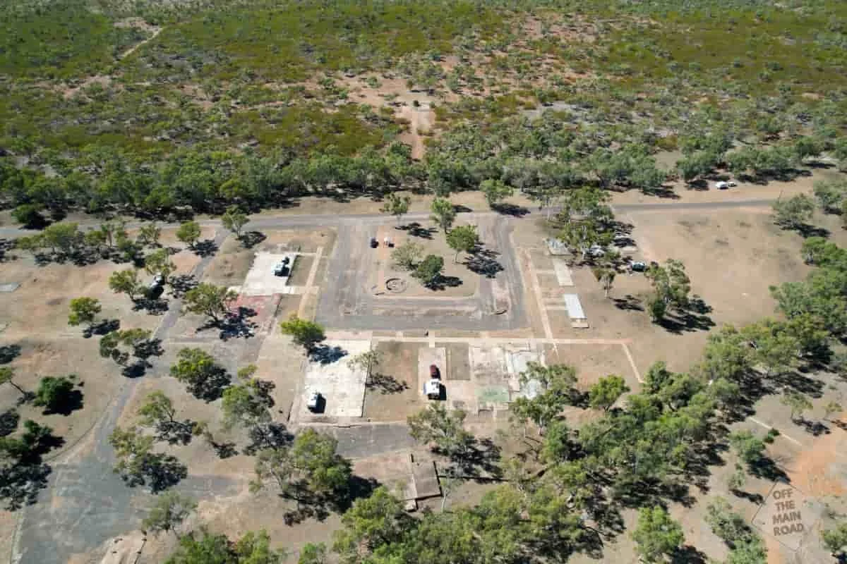
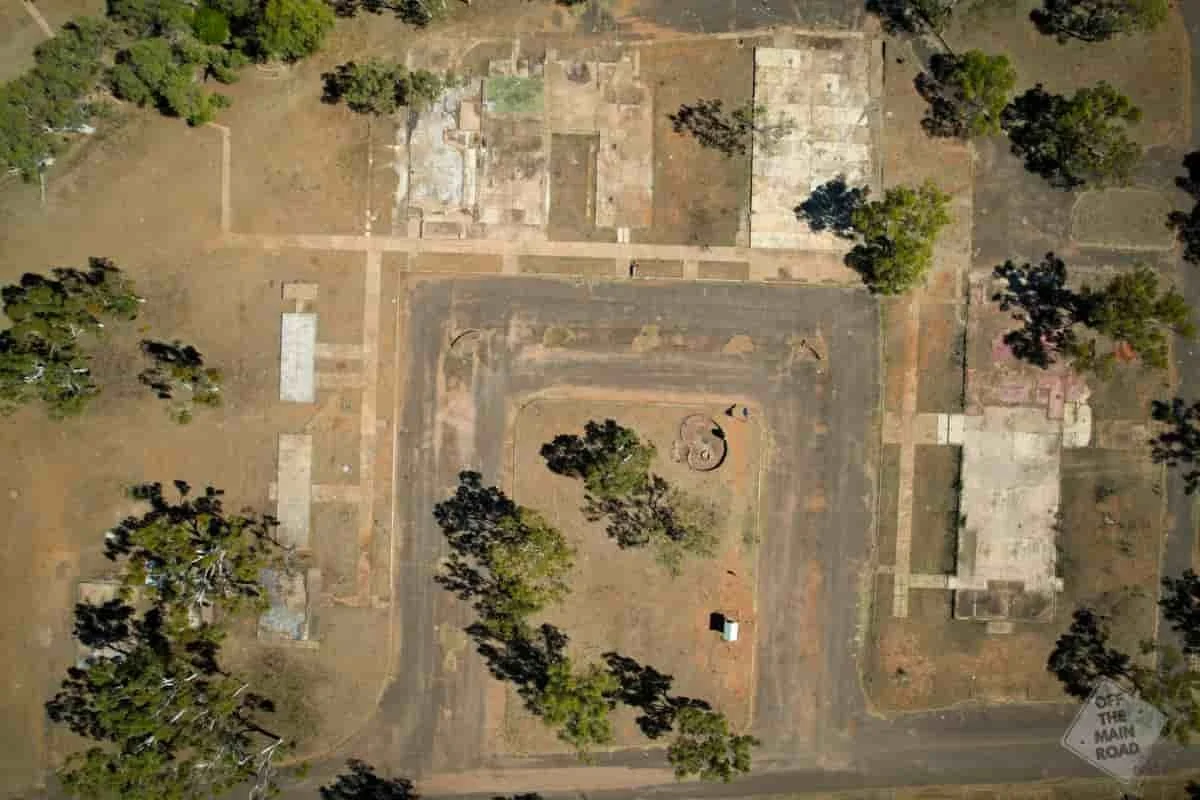
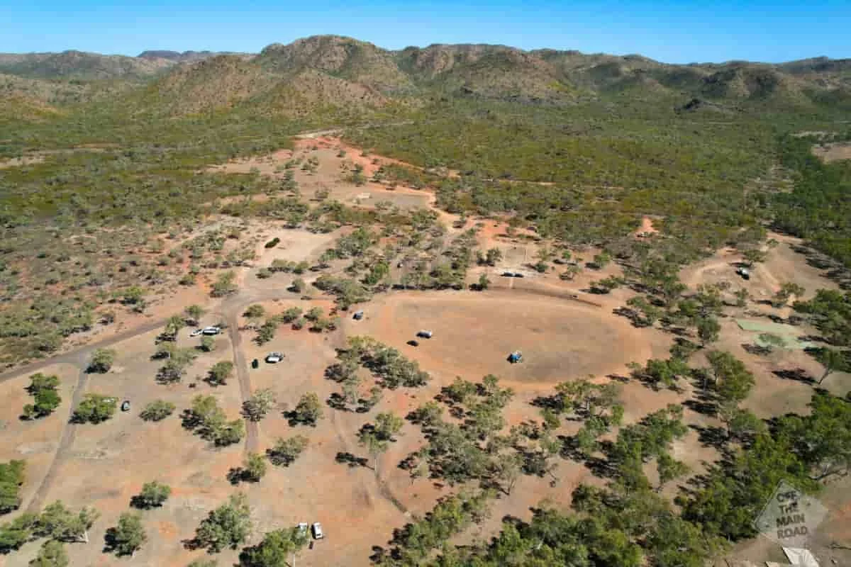
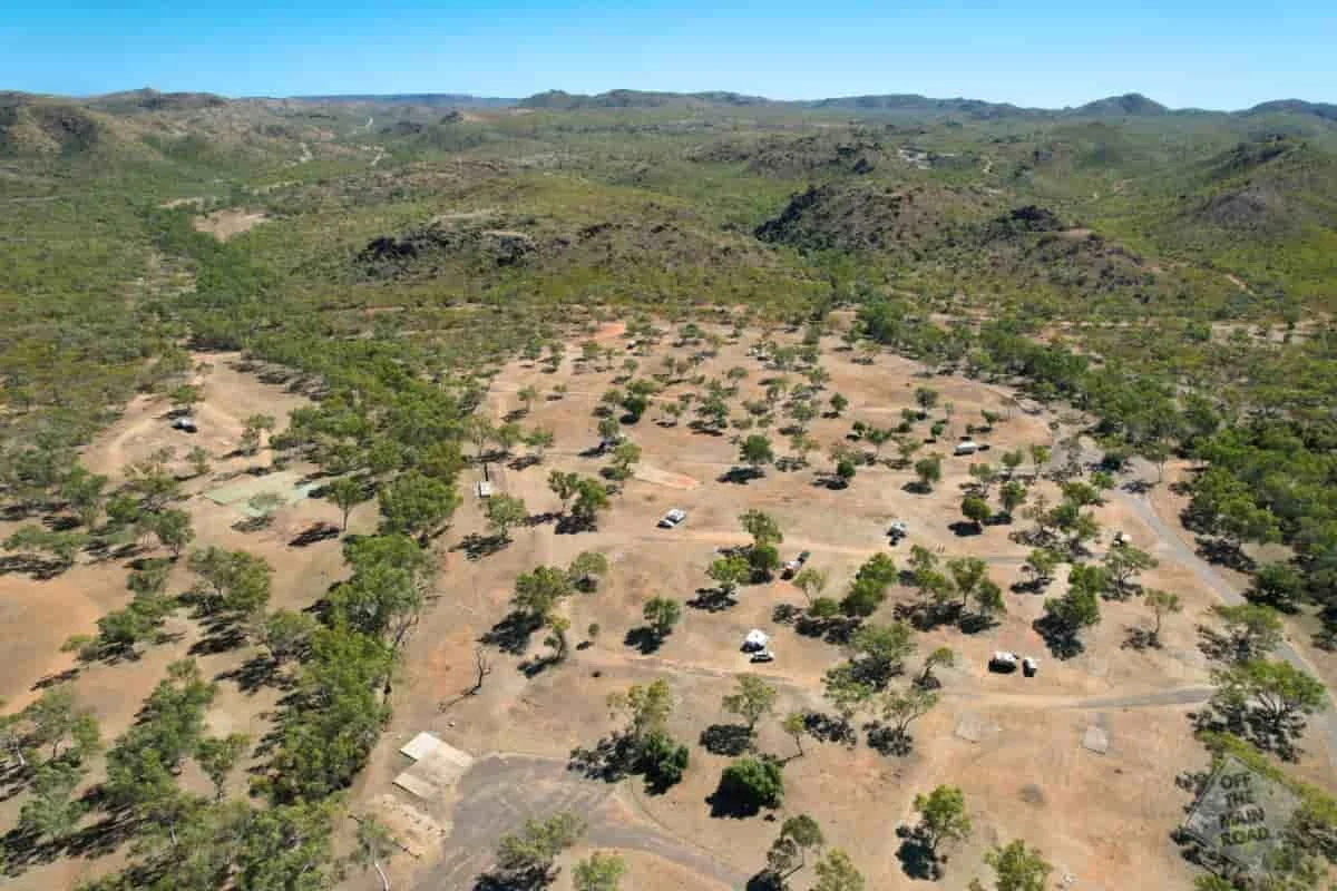
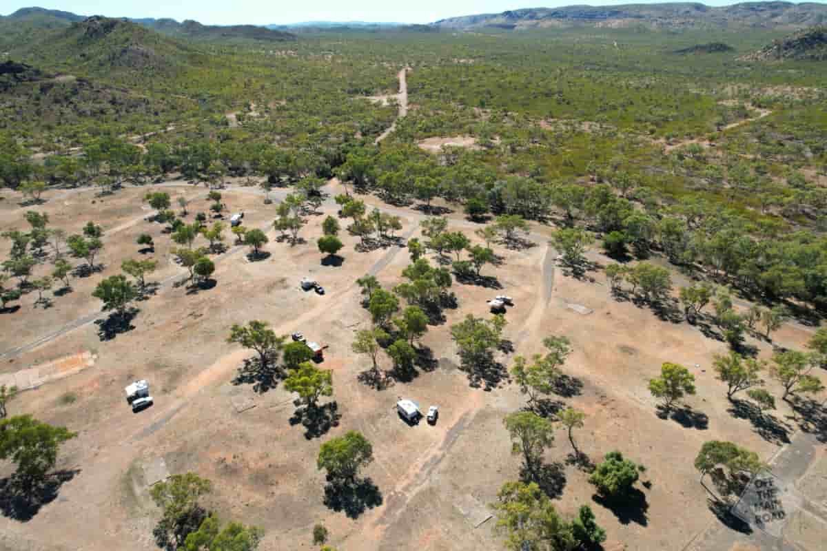
Mary Kathleen Township Site
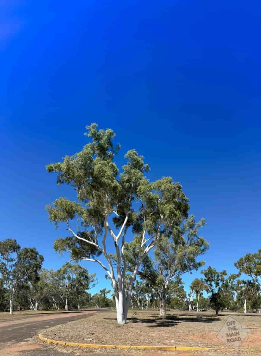
The old township sits in a shallow valley in the Selwyn Range, about halfway between Mount Isa and Cloncurry. All that remains is the street grid, concrete house slabs, footpaths, a roundabout and the shell of the old pool. The land is private property, and the owner allows self-contained travellers to camp overnight among the ruins. It is a large, open site with room to spread out, and choosing which vacant slab to park on is part of the fun. There are no facilities of any kind, so you need to be fully self-contained. The mine pit itself is a separate trip, about seven kilometres away up a rough track.
How to Get There
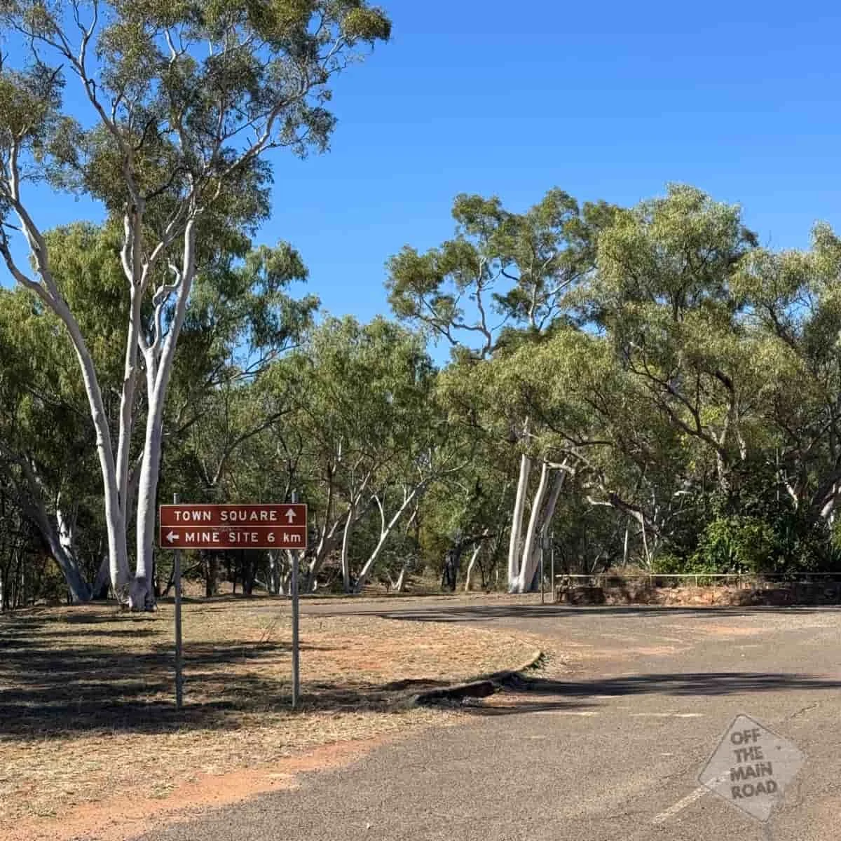
Mary Kathleen sits right off the Barkly Highway between Mount Isa and Cloncurry, roughly an hour from either. Coming from Cloncurry, it is around 50 kilometres west, with the turn-off on your right. The access road into the township is potholed and rough but manageable in a 2WD if you take it slowly. Big rigs are fine at the main camp area.
The drive up to the mine pit is a different matter. The track climbs about seven kilometres from the camp and is badly potholed, corrugated and single-lane in places. Leave the caravan or motorhome in the township and take a smaller vehicle, or, as many do, walk or cycle up. It is slow going either way, but the view at the top makes it worthwhile.
Winton to Mary Kathleen is roughly 350km, about a 4-hour drive, via Kynuna and Cloncurry (the Landsborough and Flinders Highways).
What to See and Do
What we did:
Chose a house slab in the old suburbs and camped the night among the ruins.
Walked the empty streets, following footpaths and picking out where the pool, the ovals and the shops once stood.
Drove up the rough track to the open-cut mine pit for the view.
Caught up with other travellers who had come for the same mix of history and quiet.
Other highlights nearby:
The Mary Kathleen open-cut pit, with its startling turquoise water. Look, photograph, but do not go near it or touch the water.
Cloncurry, with the Mary Kathleen Memorial Park and Museum, where many of the town’s relics ended up.
Mount Isa to the west, for underground mine tours and supplies.
The Turquoise Pit and a Serious Warning
The highlight for most people, us included, is the old open-cut pit. The track up is a short adventure in its own right, rocky and rough, winding through the ranges. And then you reach the top, and the view stops you. The pit has filled with water that glows an unreal, luminous turquoise, ringed by rusty red and orange cliffs. It looks like something from another planet, and it is genuinely one of the most striking things we have seen in outback Queensland.
It is also radioactive, and this is not a joke or a bit of local colour. The water in the pit carries dissolved minerals and radioactivity from the old workings. Do not swim in it. Do not touch it. Do not let the dog near it. Admire it from the edge, take your photographs, and keep your distance. The colour is beautiful precisely because of what is in the water.
When to Visit
The dry season, roughly May to September, is the time to visit. The days are warm rather than brutal, the access roads are firm, and the nights are cool and clear, which makes for excellent stargazing out here with no town lights for company. Summer is punishingly hot, and the tracks can be cut by rain. Whenever you come, arrive with full water, full fuel and enough supplies, because there is nothing at the site and the nearest towns are an hour off in either direction.
Final Thoughts
We came to Mary Kathleen for a look and a photo, and stayed the night because the place got under our skin. There is something about sleeping in the footprint of a vanished town that makes you think. All those lives, the milk cans and the Sunday best and the three football flags, and now just slabs and cattle and a huge quiet sky. It is not sad, exactly. More a reminder of how quickly a place can rise and fall, and how gently the country takes it all back. We are very glad we turned off the highway.
What’s Nearby
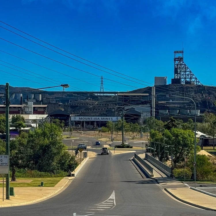
Mary Kathleen sits on the run between Mount Isa to the west and Cloncurry to the east, and it makes an easy and worthwhile overnight break on that stretch. From Mount Isa, the road carries on toward the Territory and the long haul north that eventually took us to Heartbreak and the Lost City.
If you are tracing outback Queensland’s mining history, this is one of its strangest and most rewarding chapters.
We share stops like this one, the quiet history and the odd corners, through our Travel Dispatch. If that is your pace, you can join us HERE
Fast Facts
Location: Mary Kathleen township site, off the Barkly Highway between Mount Isa and Cloncurry, Queensland
Distance: Roughly halfway between Mount Isa and Cloncurry, about an hour from either
Traditional Owners: Kalkadoon People
Access: Potholed 2WD access road into the township; the 7km track to the mine pit is rough and best done in a small vehicle or on foot
Facilities: None. Fully self-contained camping only
Camping: Free overnight camping on the old town slabs, by permission of the landowner. No fires
The Pit: Radioactive water. Do not swim, touch or enter
Best Time to Visit: Dry season, May to September
Dog Friendly: Yes, but keep well away from the mine pit water
Things That Could Kill You (Probably Won’t) (or Might)
A semi-serious guide to surviving Australia. Mostly common sense, occasionally luck.
The pit water: Radioactive, and this one is genuinely serious. Beautiful to look at, dangerous to touch. Stay back from the edge and keep the dog on lead.
The mine track: Rough, potholed and steep in places. Slow down, and do not take anything large up it.
The heat: No shade, no facilities, no help nearby. Carry plenty of water and do not rely on phone reception (Telstra only, and patchy).
Old mine sites: Loose ground, hidden shafts and unstable edges around the workings. Stick to the obvious tracks and do not go clambering.
Other updates you may like…




A solo flight to Lady Elliot Island brought a famously short grass runway, an hour in the lagoon, guano mining history, a 150-year-old lighthouse, a communal buffet, and an afternoon among turtles, manta rays and coral gardens.