
Wyandra: Sunsets and Silence
The Mitchell Highway between Cunnamulla and Charleville is flat, straight, and quiet. Not empty, just unhurried.
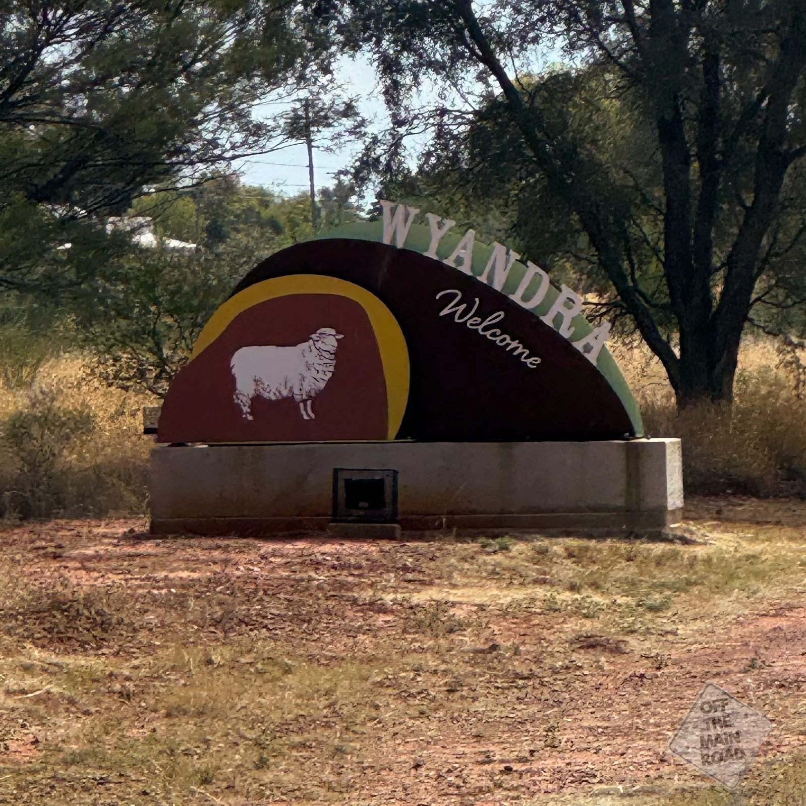
Wyandra sits almost exactly halfway, about 110 kilometres north of Cunnamulla and 113 kilometres south of Charleville, and it's easy to drive through without stopping. We didn’t drive through; we stopped at one of our favourite peaceful stops when heading north.
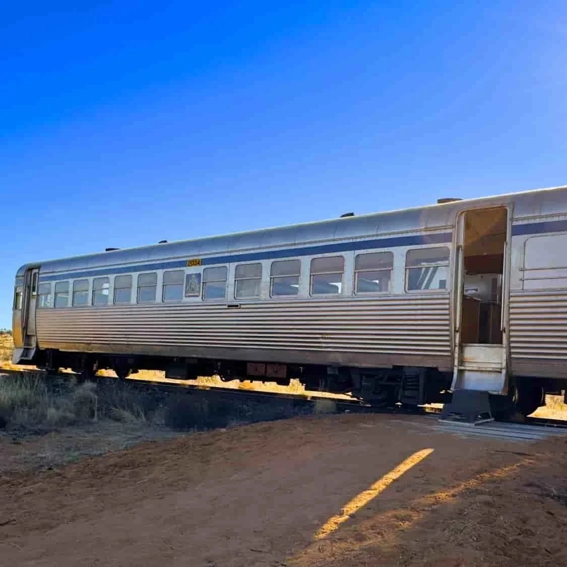
The township was established in 1896 with the Great South Western Railway passing through on its way from Brisbane to Cunnamulla. Wyandra’s proximity to the Warrego River meant it was a major water stop for the steam engines of the era, and like so many outback towns, the railway was the reason it existed at all. In 1898, a school was established with about 60 pupils, roughly the same as today’s total town population of 78!
The last passenger train ran through in 1994. The rail line’s final chapter, though, came twenty years later and about 110 kilometres up the road. But that’s a story for the next time. (Sign up for our travel dispatch to stay up to date)
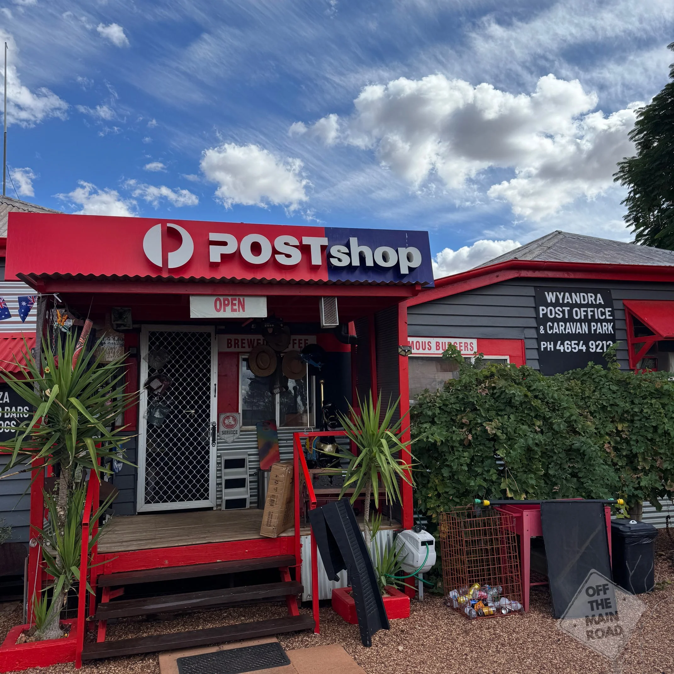
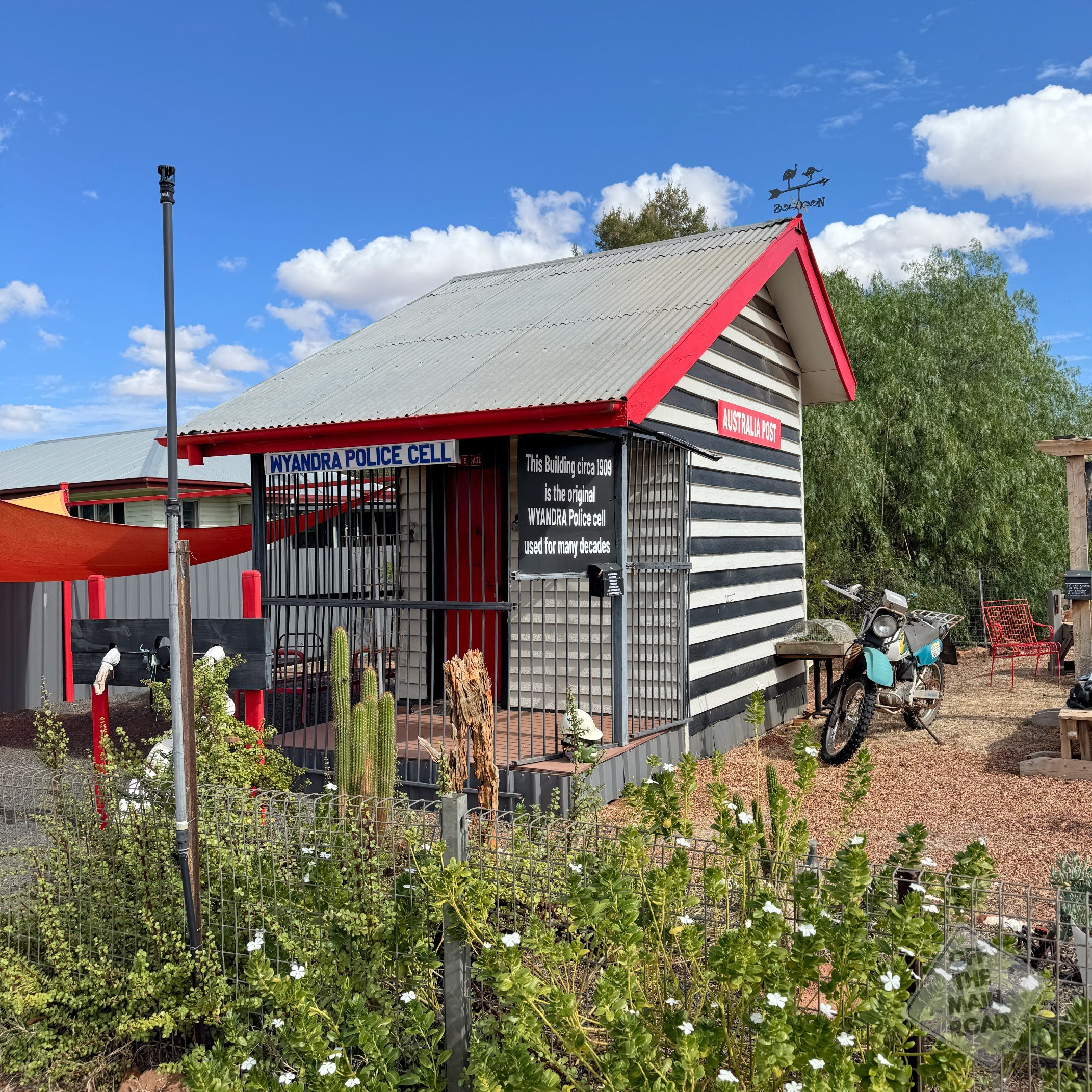
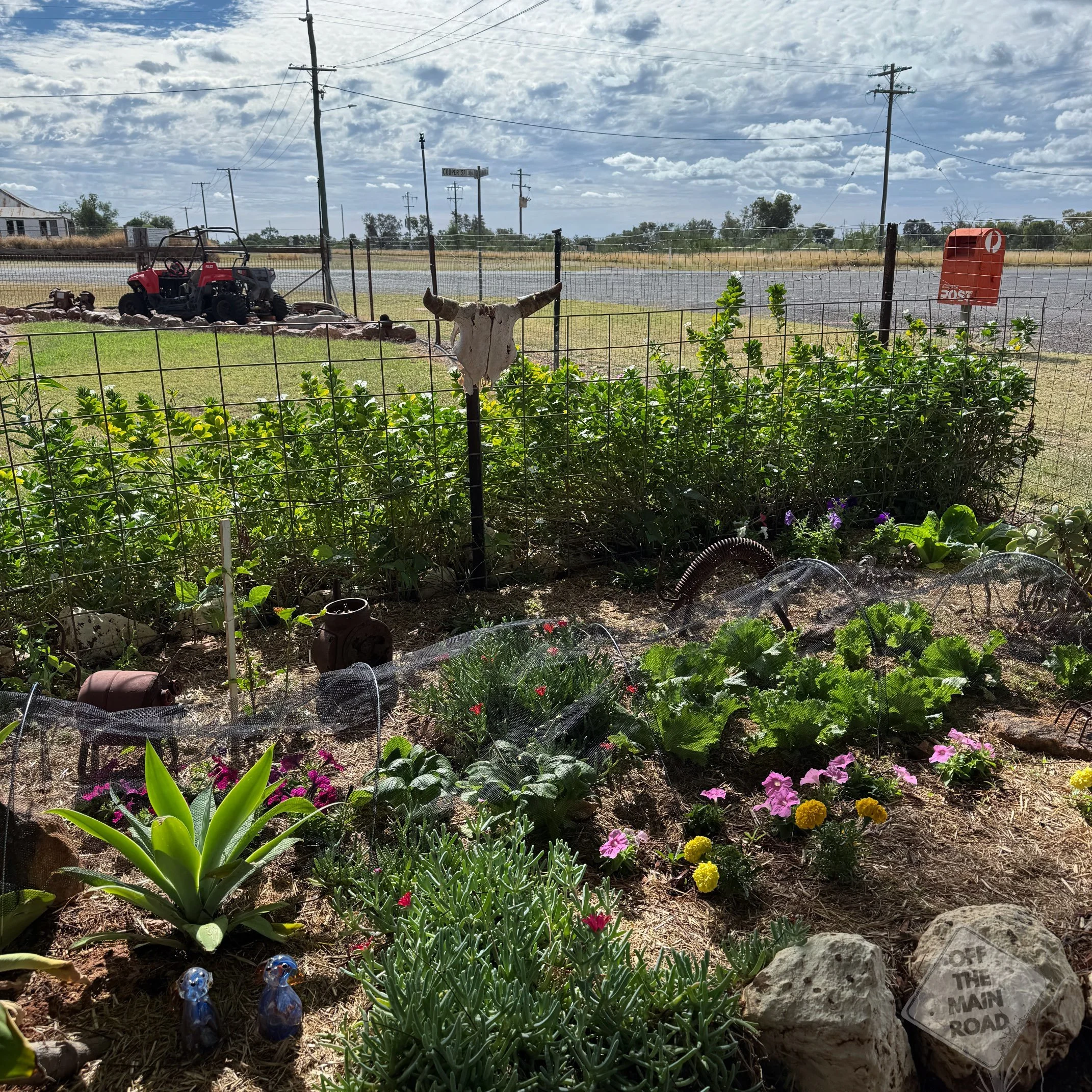
We set up at the free camp out the back of the school. The Wyandra Post Office and general store is the beating heart of town, where you can pick up a burger and great conversation in the same visit. The burgers are excellent. Proper outback cooking, generous with the fillings.
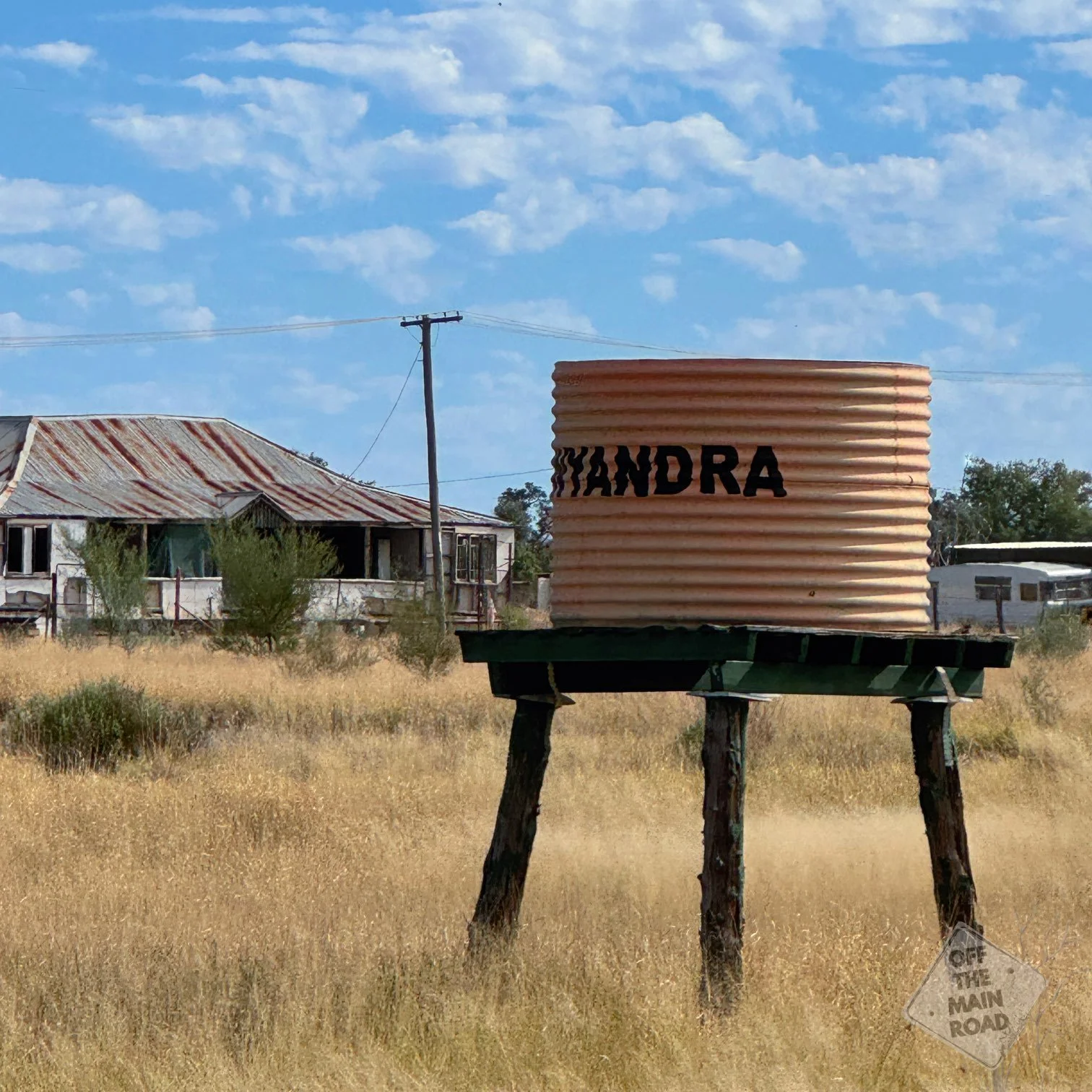
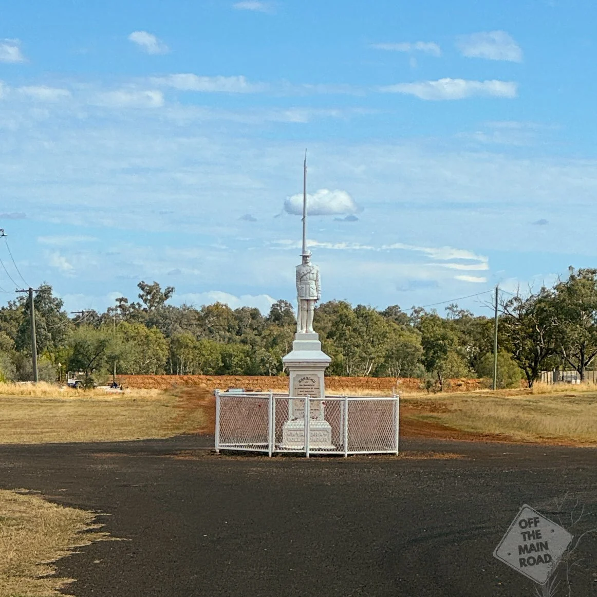
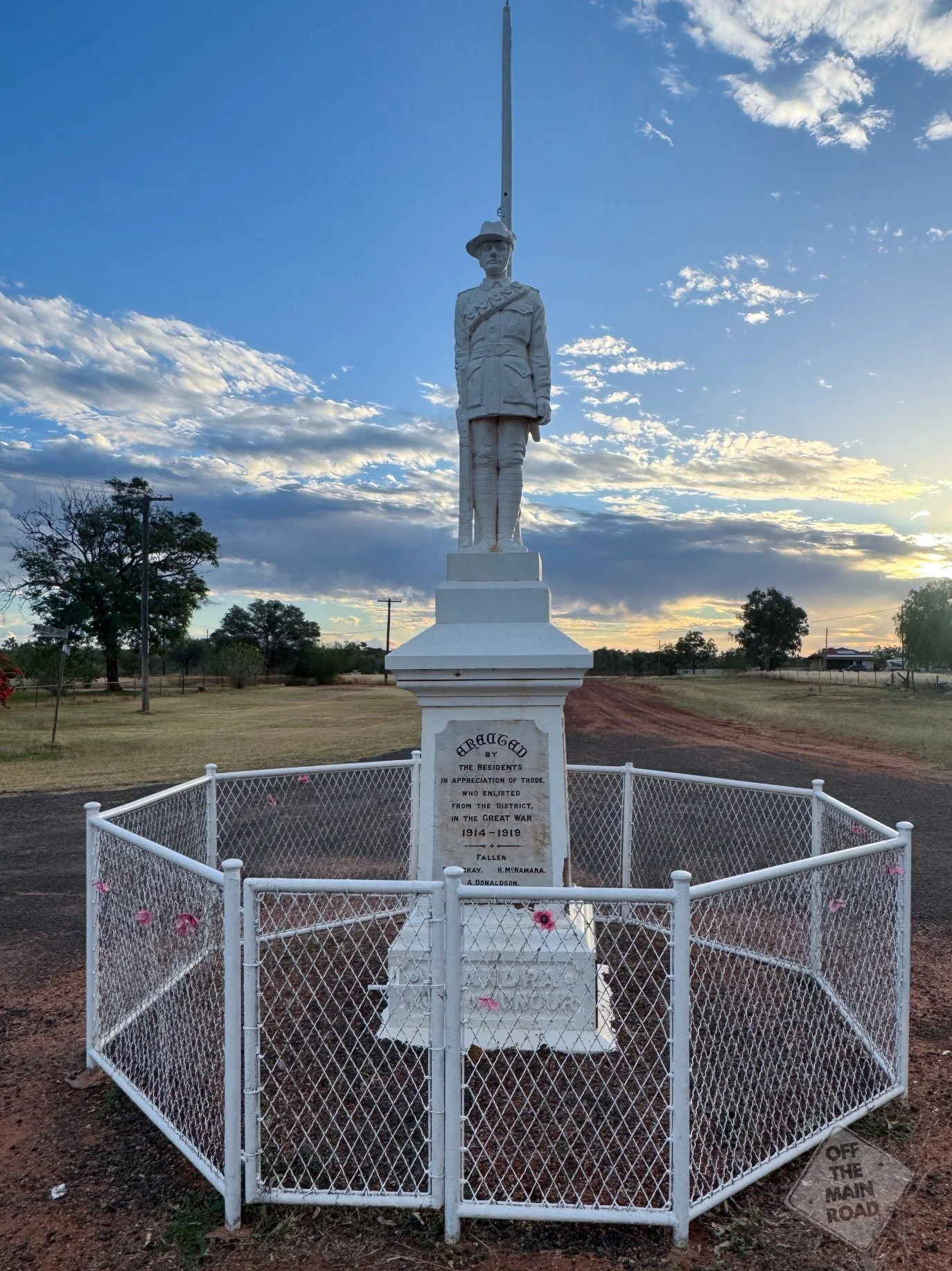
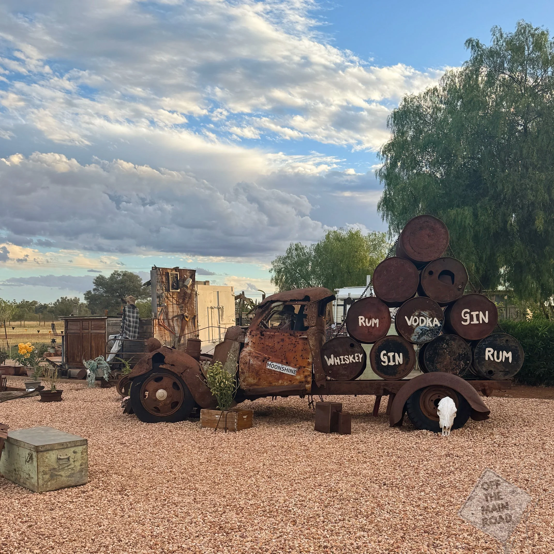
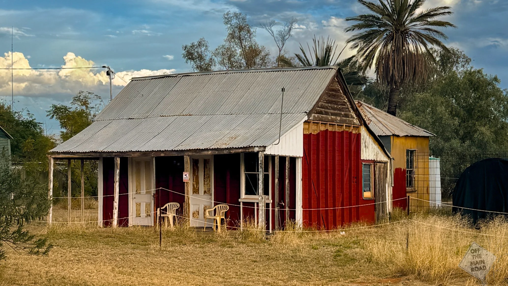
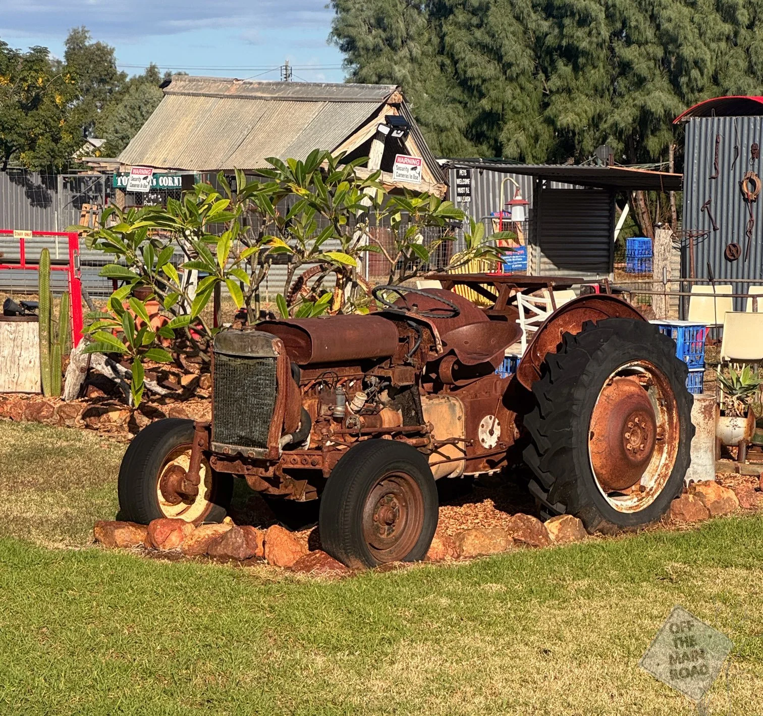
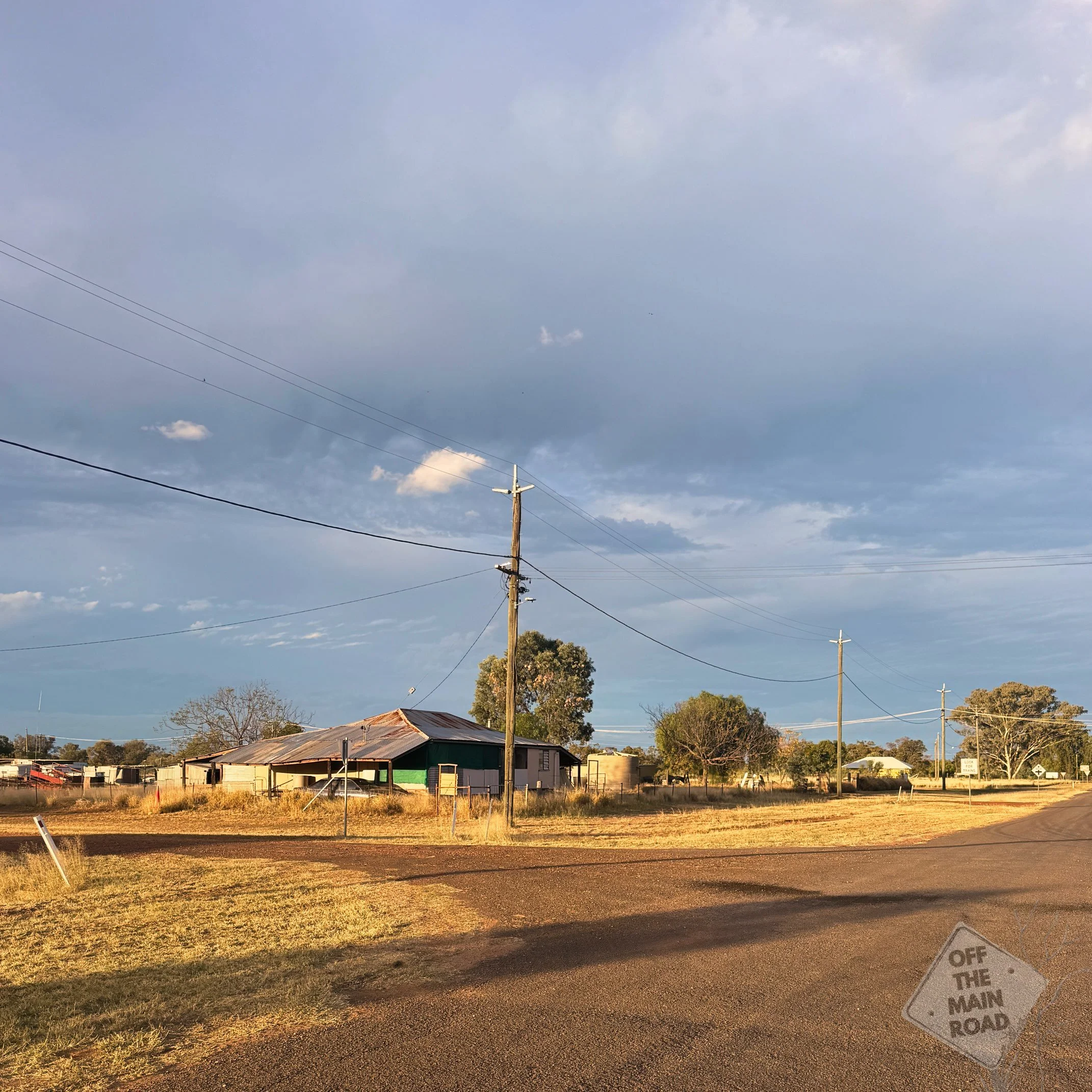
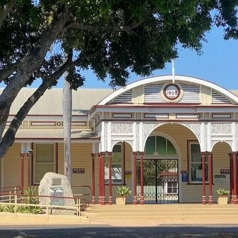
From there, we walked around the town. It doesn’t take long. A heritage trail guides visitors past old and unusual buildings, with plenty of photographic opportunities. The old buildings have a particular quality to them, weathered but still standing, still carrying the shape of a town that once had bigger expectations.
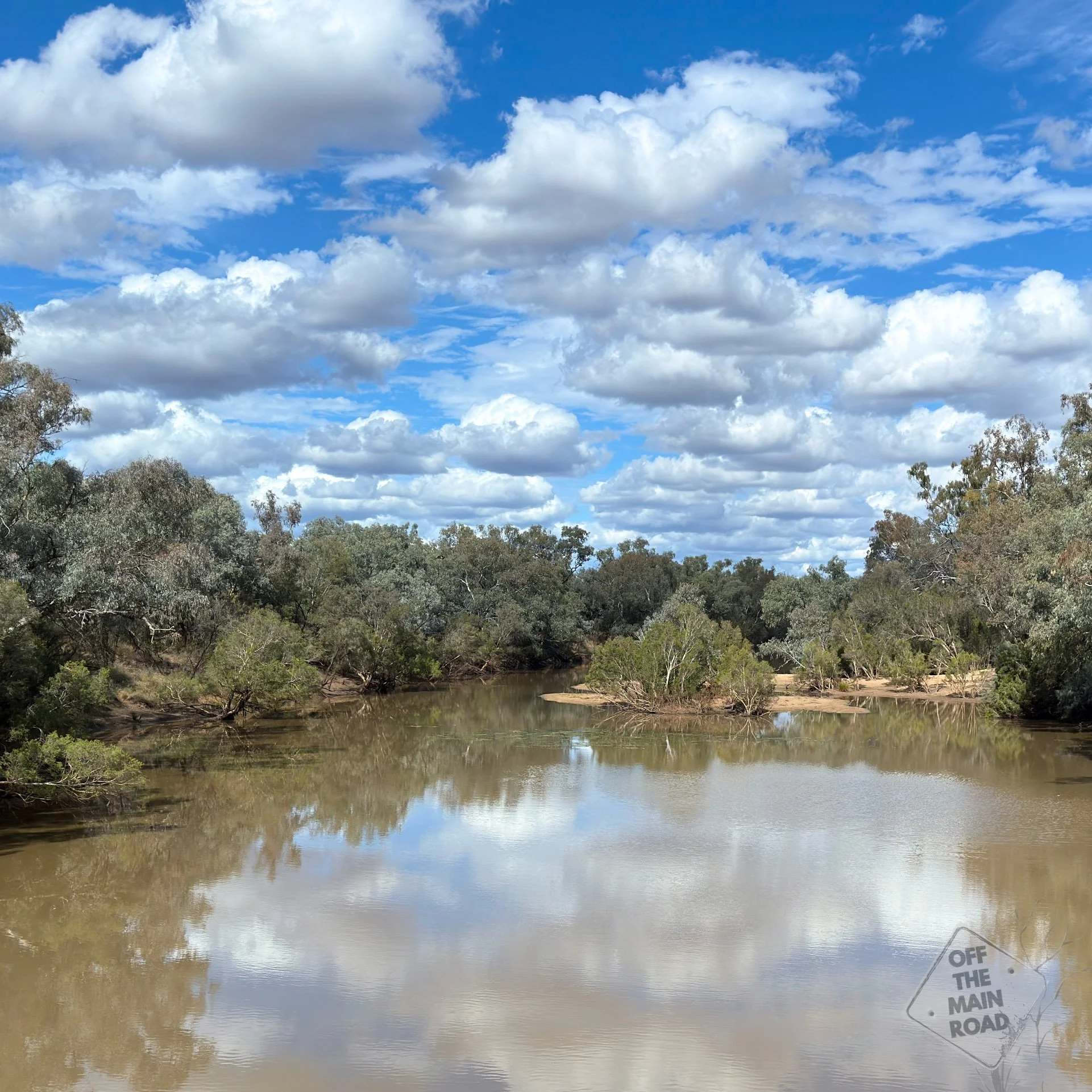
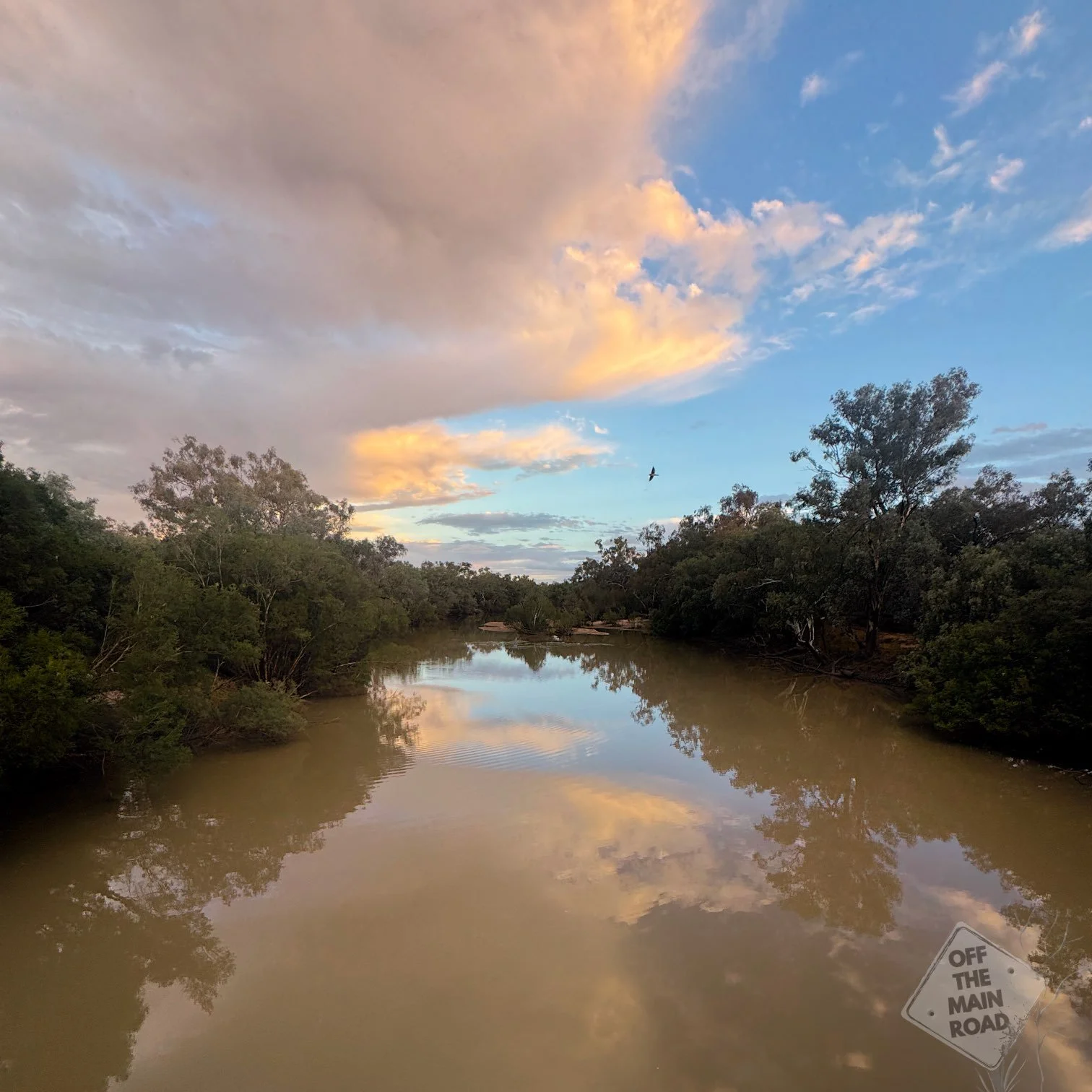
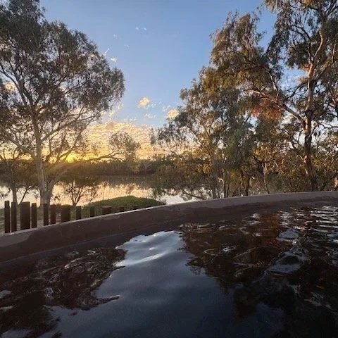
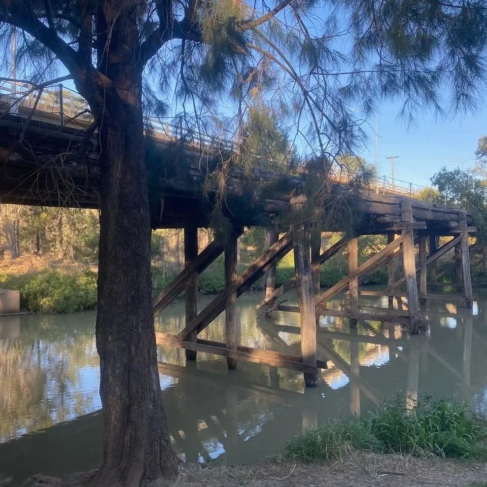
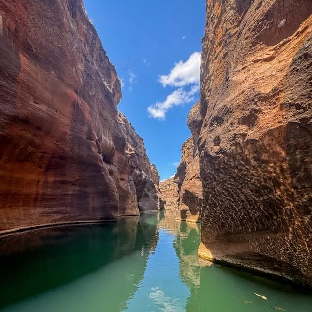
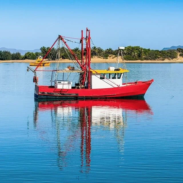
There aren’t too many places over 1,000 kilometres from the nearest ocean that can boast their very own sandy beach, but Wyandra is one of them. The beach is down on the Warrego River, a sandy bend in the river where the bank flattens out, and the water runs clear enough to invite you in. It’s a popular spot with locals and a good place to sit and watch the afternoon light move across the water.
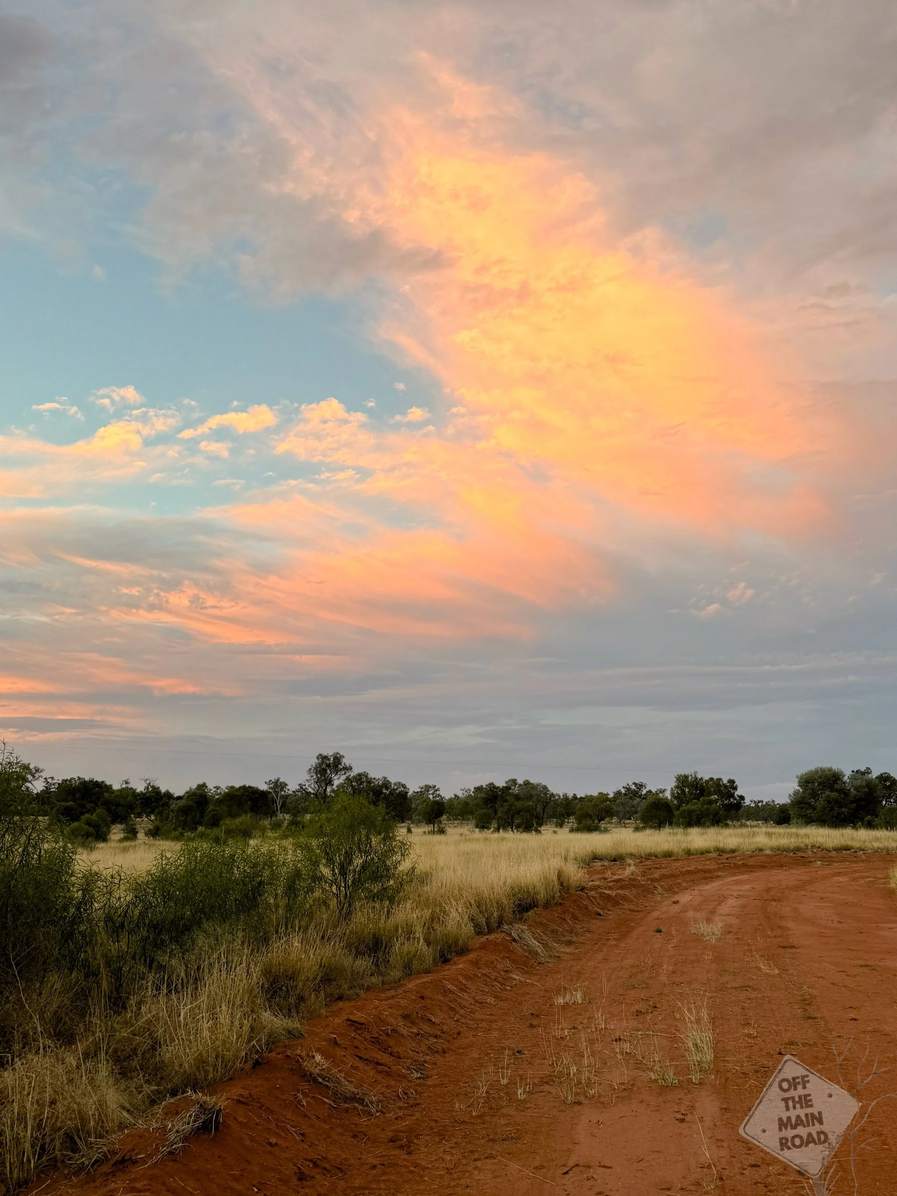
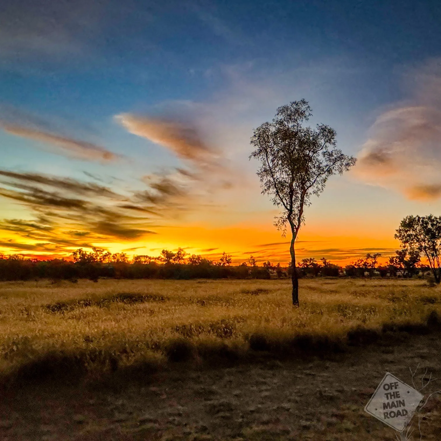
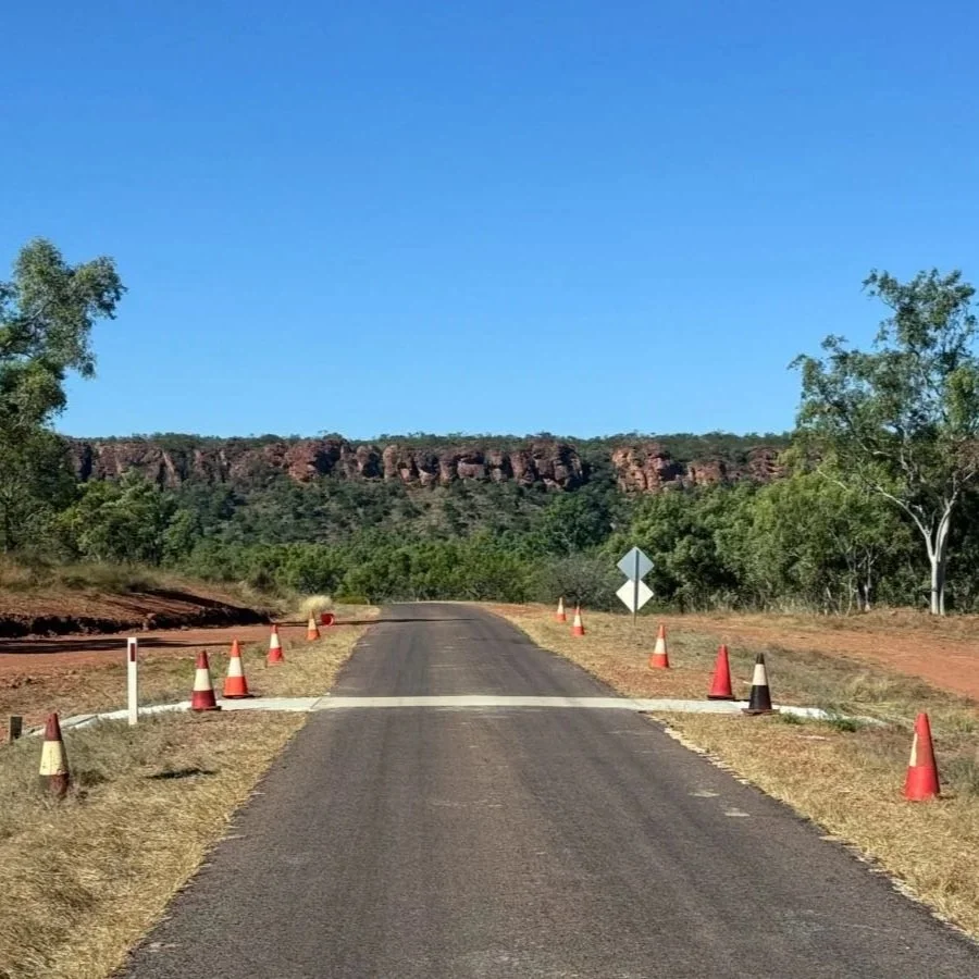
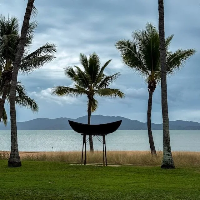
The sunsets here are something else. The sky opens up wide over the flat country, and when the light goes, it does it slowly and completely, running through every shade of orange and red before dropping away. Cameron photographed one of those sunsets, and it ended up on the cover of the 2026 Paroo Shire Calendar.
We spent time doing very little, which is sometimes exactly the point. The peace at Wyandra is genuine, no highway noise, no crowds, just the sound of the birds in the morning.
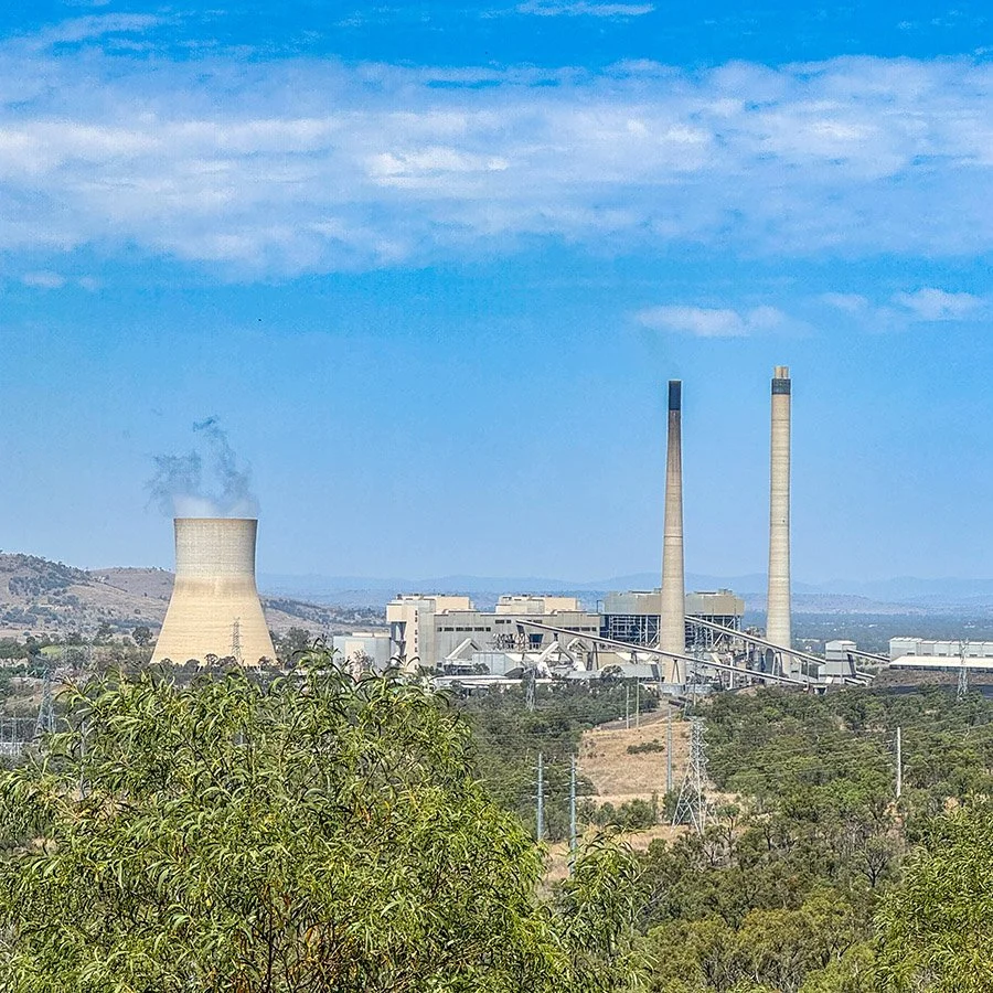
And if you're heading north toward Charleville, there’s a stop on the Mitchell Highway about 110 kilometres up the road that’s worth a stop. On the evening of 5 September 2014, one of the largest explosions in Australian history permanently reshaped the landscape. We’ll cover that next time!
If this kind of slow travel is your thing, the Travel Dispatch has more of it. Sign up HERE
Wyandra is part of our growing collection of small towns in Australia worth slowing down for.

Wyandra, Queensland
Located halfway between Cunnamulla and Charleville in the Paroo Shire. The township was established in 1896 with the Great South Western Railway passing through on its way from Brisbane to Cunnamulla. The Warrego River runs through the locality from north to south, and the town sits just to the east of the river and west of the Mitchell Highway.
How to Get There
Wyandra is located on the Mitchell Highway, approximately 110 kilometres north of Cunnamulla and 113 kilometres south of Charleville. The road is sealed throughout and suitable for caravans and motorhomes.
What to See / Tours / Activities
What we did:
Stayed at the free camp behind the Wyandra Post Office.
Ate outback burgers at the post office general store.
Walked through town.
Visited the beach on the Warrego River.
Watched the sunset over the flat country.
Other highlights nearby:
Cunnamulla, 110 kilometres south, with hot springs, the All Aboard experience and the Artesian Time Tunnel.
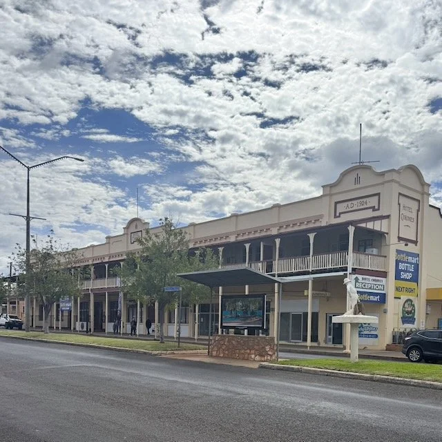
Charleville, 113 kilometres north, with the Cosmos Centre and the historic Hotel Corones.
Angellala Creek explosion site, about 110 kilometres north.
When to Visit
Wyandra is accessible year-round. Autumn through spring offers the most comfortable conditions. Summer temperatures in south-west Queensland are extreme. The Warrego River can flood after significant rainfall, check conditions before travelling.
Final Thoughts
Wyandra is quiet, genuine, and unhurried. The burgers are good, the beach is real, and the sunsets make you put the phone down and just look (or photograph).
What’s Nearby
We came to Wyandra from Cunnamulla, which we've written about HERE. The road north leads to Charleville and, just before it, the Angellala Creek explosion site. one of the most remarkable stops on the Mitchell Highway, and the subject of our next post.
More of this kind of travel in the Travel Dispatch. Sign up HERE
Fast Facts
Location: Wyandra, Queensland
Distance: 110km north of Cunnamulla; 113km south of Charleville
Traditional Owners: Kuungkari People
Access: Sealed road, Mitchell Highway, suitable for caravans and motorhomes
Facilities: Free camp at post office, general store, burgers, toilets
Walking Track: Heritage trail through town; river access at the beach
Best Time to Visit: Autumn to spring
Dog Friendly: Yes
Things That Could Kill You (Probably Won’t)
A semi-serious guide to surviving Australia. Mostly common sense, occasionally luck.
The silence: It’s louder than you expect once you stop. Give it a minute.
The burgers: Generous. Plan accordingly.
The sunset: Cameron photographed one well enough for a calendar cover. Yours probably won’t make it. Still worth trying.
If this post helped, you can support our work here.
Other updates you may like…

Between Mount Isa and Cloncurry sit the empty streets of Mary Kathleen, a uranium mining town built in the 1950s, sold off entirely at auction in 1983, and now a ghostly grid of slabs and silence. Perfect for camping!