Cape Crawford:Finding the Lost City
The ‘curse’ lifted the moment we left the ground. Which is to say, we broke it by cheating and flew.
To find out more about the curse, check out our previous story: The cursed road to Heartbreak
There are a few ways to reach the Lost Cities around Cape Crawford. Some you can drive to, if you have the vehicle and the nerve for the roads. Our moho was not the vehicle and after our previous journey our nerves weren’t up for it either.
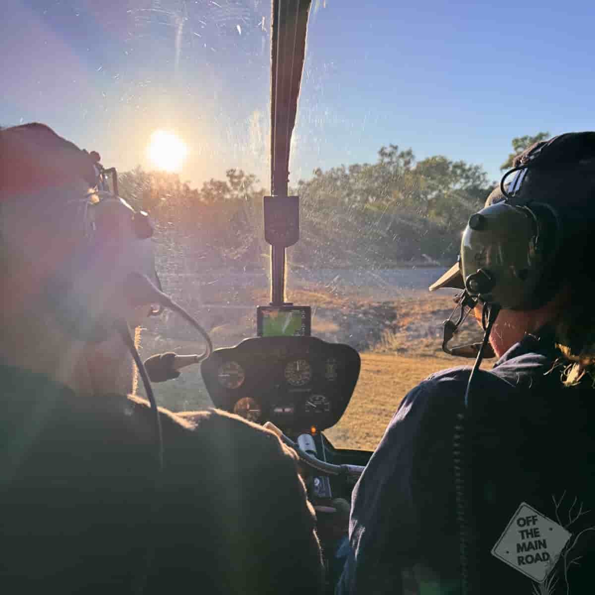
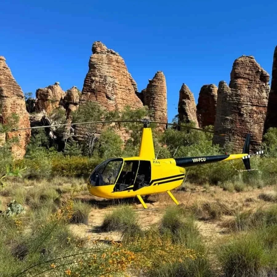
The Lost City we came for sits on private land, on McArthur River Station, and the only way in is by helicopter. So the morning after we limped into Heartbreak Hotel, dusty and cursed and still faintly itchy, we handed ourselves over to Lost City Helicopters and a bright yellow chopper with no doors.
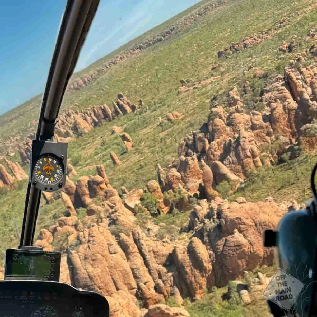
No doors. Worth repeating, because Cameron would like it on record that he is not a fan of the whirly birds at the best of times, let alone strapped into one that has decided doors are optional. We buckled in, held on tight, and lifted off over the scrub with the wind coming straight through the cabin. Thirty minutes of flying, and somewhere in the first five minutes, the nerves gave way to something better.
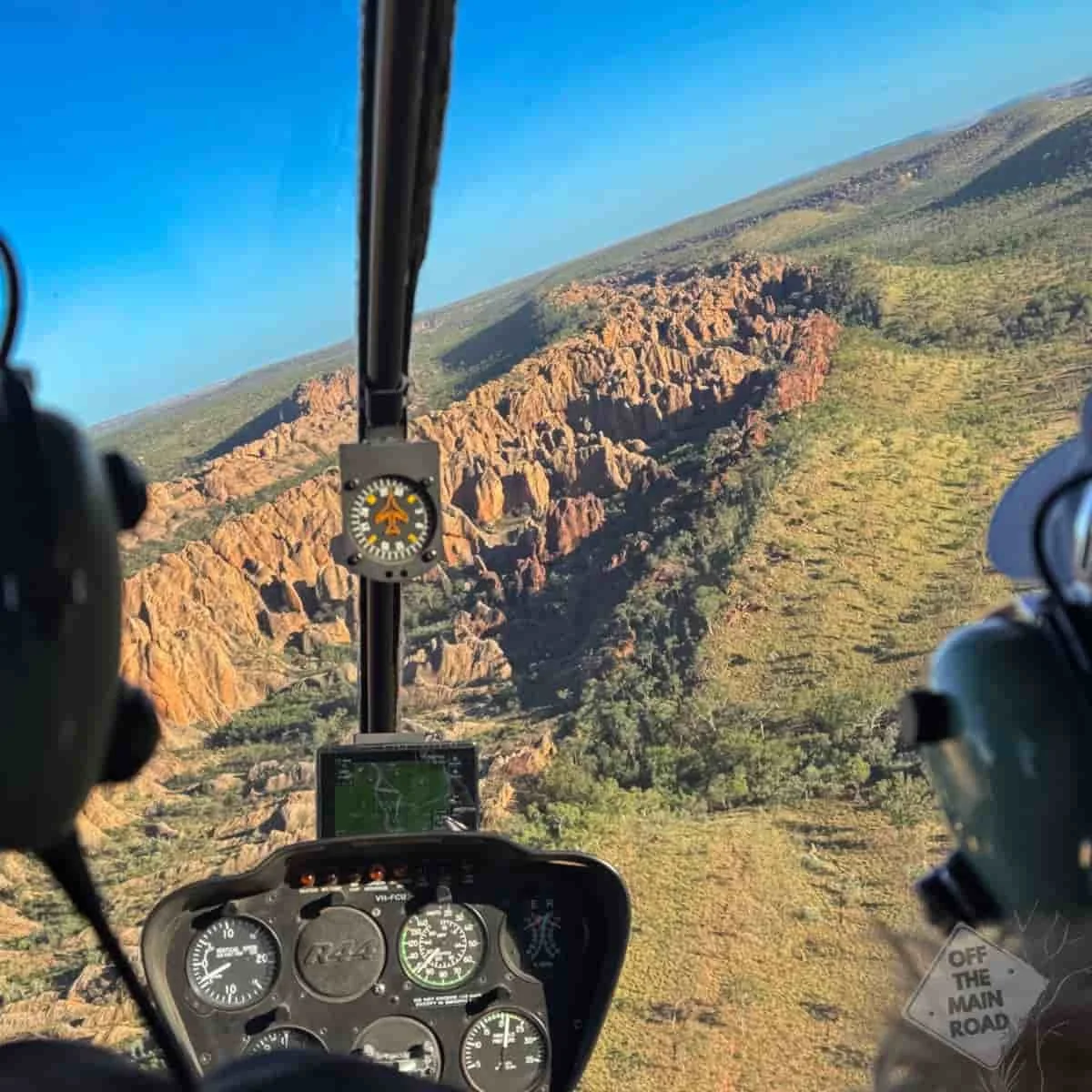
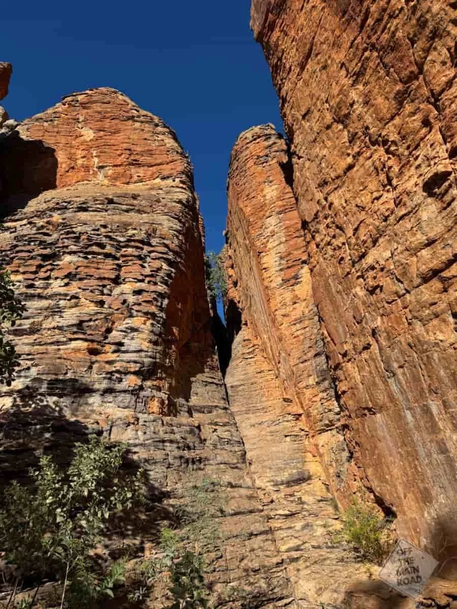
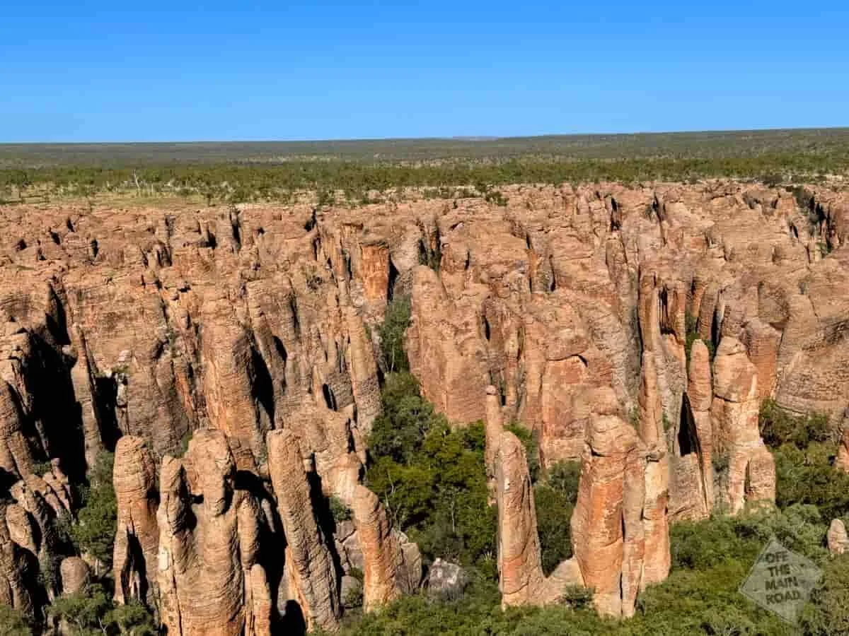
Because from the air, the name finally makes sense. Sandstone towers rise straight out of the savannah in their hundreds, pillars and spires and blunt-topped blocks standing in rows and clusters like the ruins of a city nobody remembers building. Streets, almost. Laneways between the towers. You understand, looking down, why the European explorers who came through here reached for the word city.
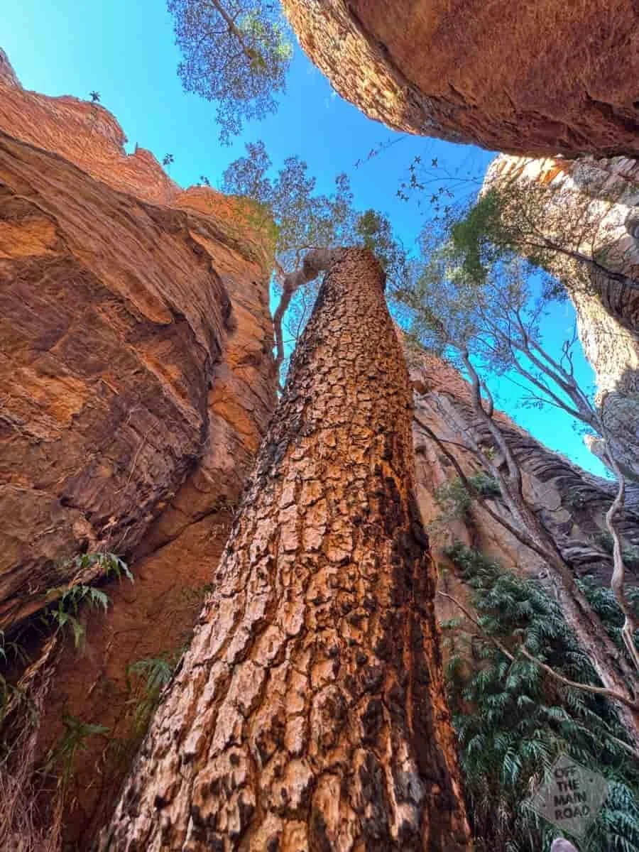
We put down in a clearing among the towers, and then it was just us. Us, the pilot, the yellow chopper, and an hour and a half on foot through the formations with not another human in sight. No boardwalks, no railings, no signs telling us where to look. Just the guide, the two of us, and the strange stone rising overhead. It felt, as much as anything ever has, like walking into a place for the first time.
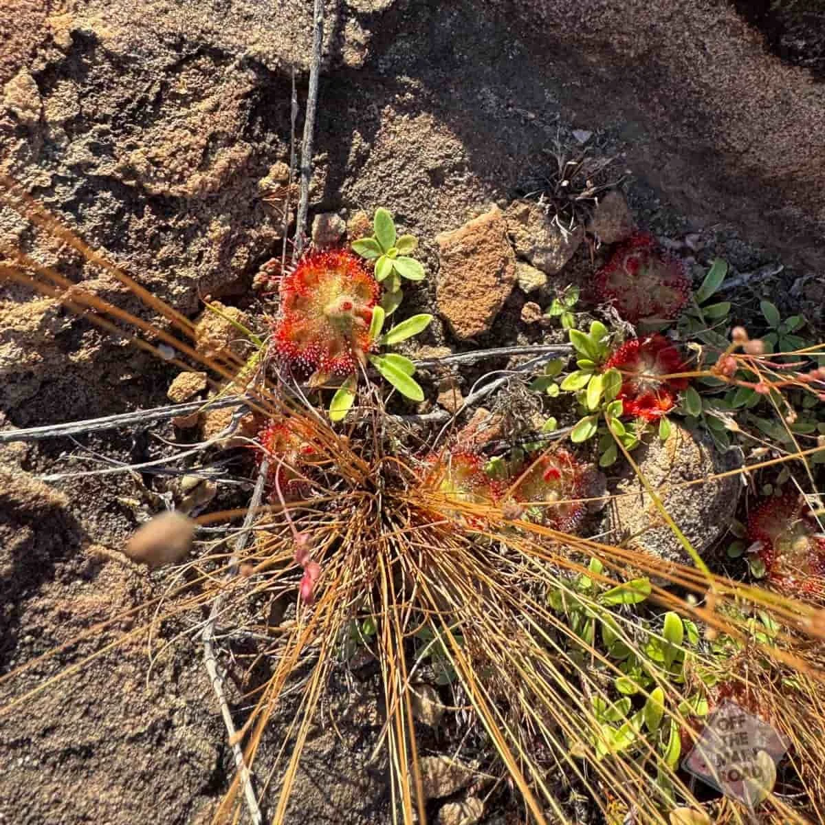
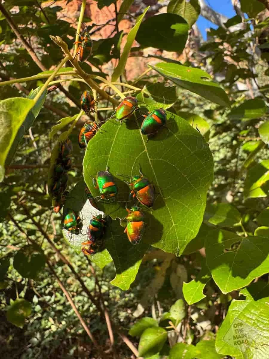
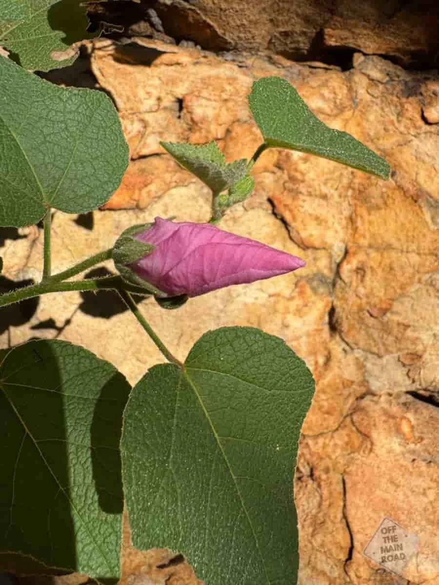
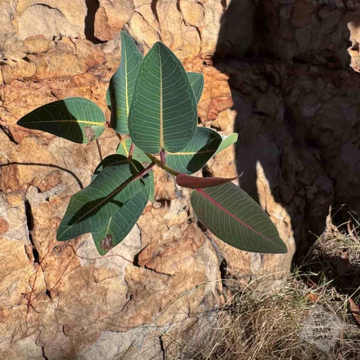
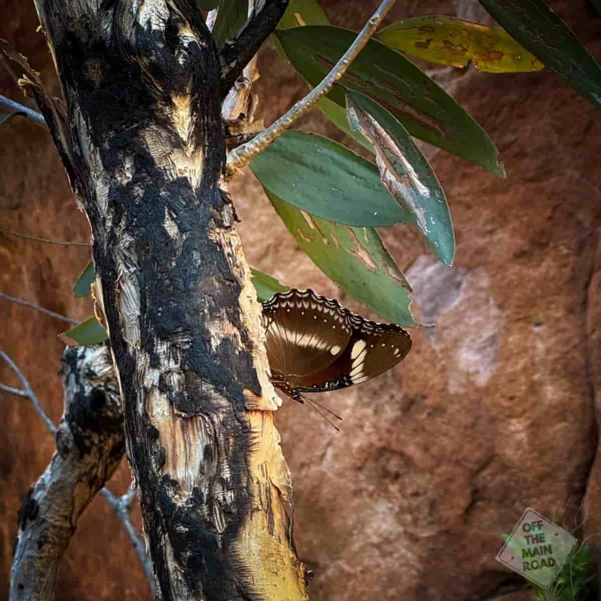
Our guide knew the country well, and not just the rocks. Every few minutes, there was something to stop for. A plant that flowers only after fire, a bird call placed before we could find the bird, the small signs of how much life holds on out here. We came for the towers and left knowing a little of what lives among them.
It is worth saying plainly that this is Gudanji, Yanyuwa, Garrwa and Mara Country, and has been for many thousands of years. We were visitors here for a morning. The people of these nations have held a connection to this land and these waters across a span of time that makes the word ancient feel small, and that connection carries on today. We did not set out to retell stories that are not ours to tell, and we came away thinking the best way to hear from the Traditional Owners is directly from the Traditional Owners themselves. In Borroloola, up the road, Waralungku Arts shows work by Yanyuwa, Garrwa, Mara and Gudanji artists, and it is a good place to start.
We made it back to Heartbreak with a ton of photographs and a day we will be talking about for a long while. Cameron even conceded, on solid ground, that the doorless chopper had been worth it. (Do not tell the pilot)
The next day, we kept our feet on the ground and drove out toward Borroloola and King Ash Bay, an easy day trip north from the hotel and a good way to see the Gulf side of this country. Borroloola sits on the McArthur River, a small town with a big fishing reputation, and King Ash Bay, a little further on, is where much of that fishing actually happens: a cluster of camps and boat ramps run by a club on the riverbank. It is barramundi country, and even for a pair who came for rocks rather than rods, there is something to the quiet pull of all that brown water heading out to the sea.
The thing that stops you on the way, though, is the mine. The McArthur River zinc and lead mine is one of the largest deposits of its kind in the world, and you feel its scale long before you can see much. The open pit runs to more than four hundred metres deep, and a couple of hundred hectares across, and the overburden has been piled into mountains that were not there before. To reach the ore, which lay directly beneath the river, the operation diverted five and a half kilometres of the McArthur River from its course. Take a moment with that...They shifted the river. It is a genuinely staggering sight to drive past, and, we will say plainly, it is also the same river the Traditional Owners have gone to court over, most recently in a ruling that recognised lasting cultural harm from the mine’s expansion. Both things are true at once, the sheer engineering nerve of it and the cost carried by the people whose Country it sits on. We drove past quietly and left it at that.
If you would like the next stretch of the road delivered straight to you, our Travel Dispatch is where we keep the stories coming. You can sign up HERE
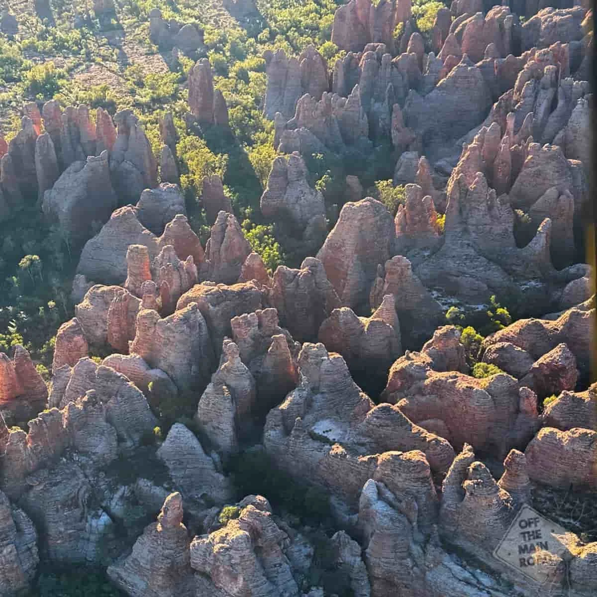
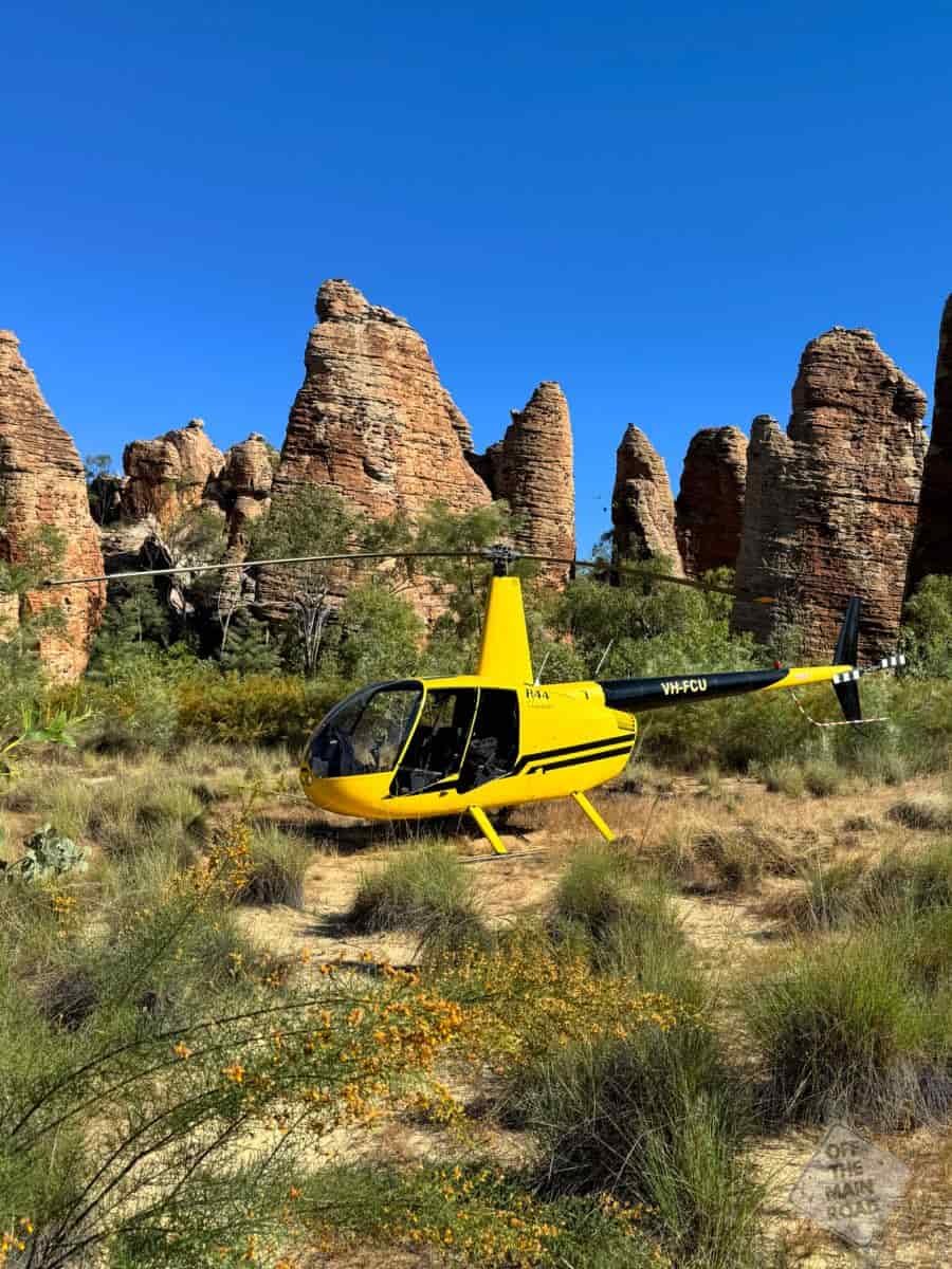
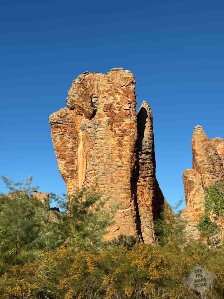
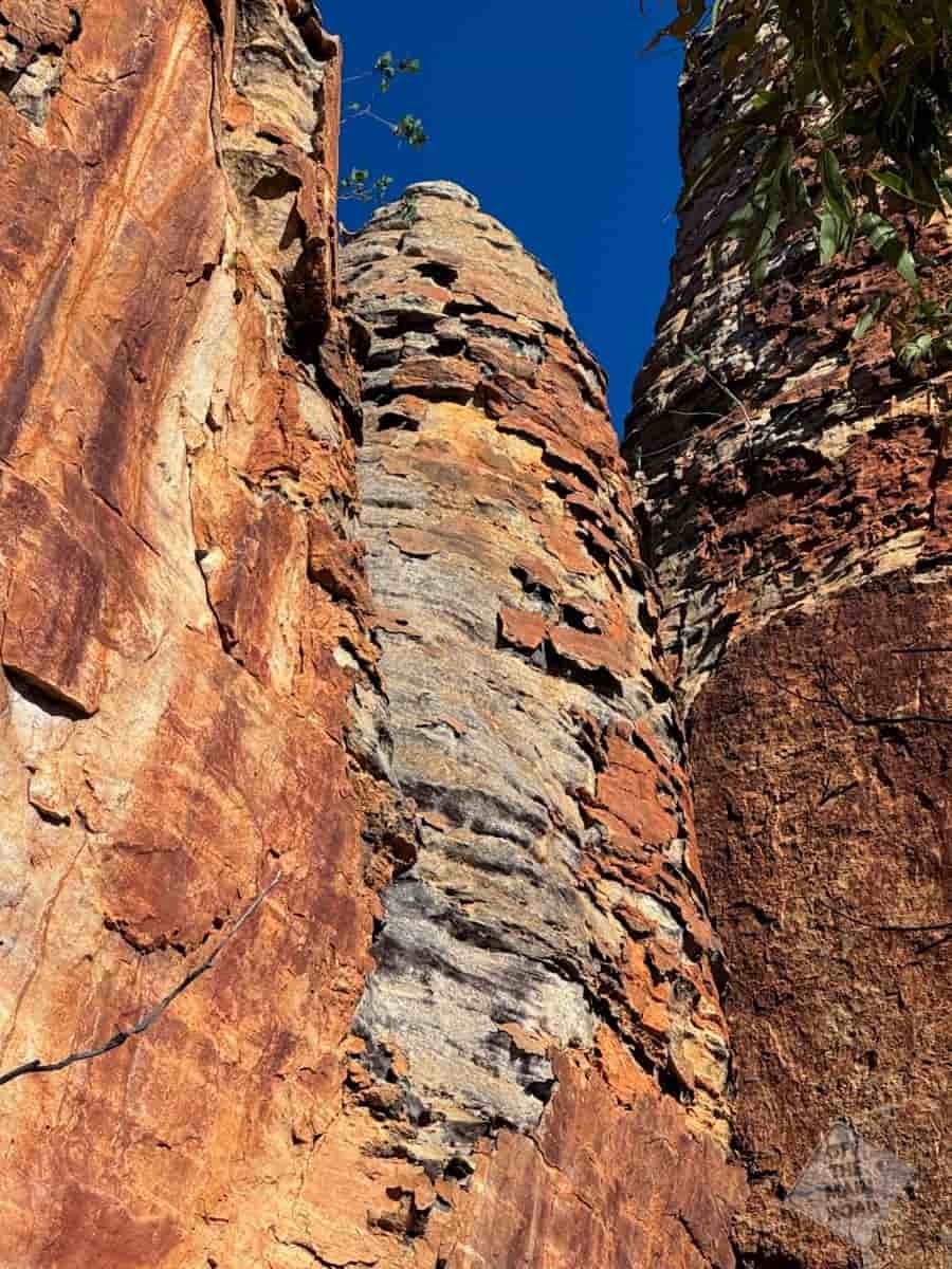
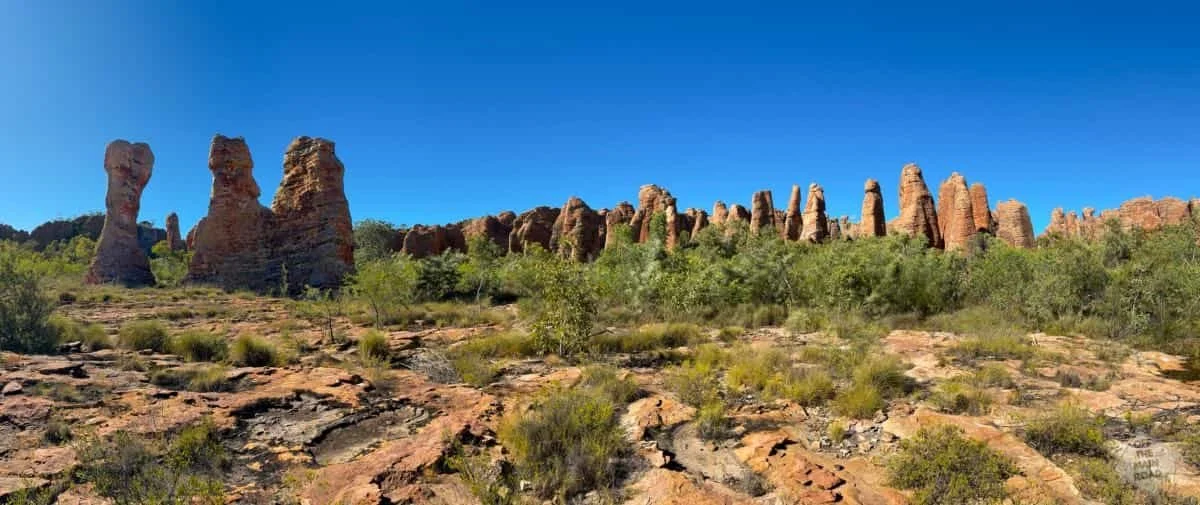
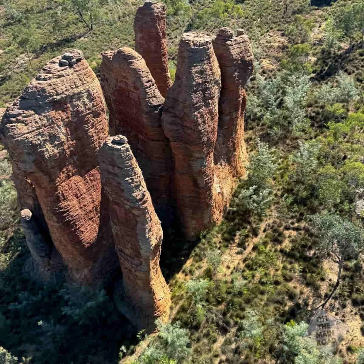
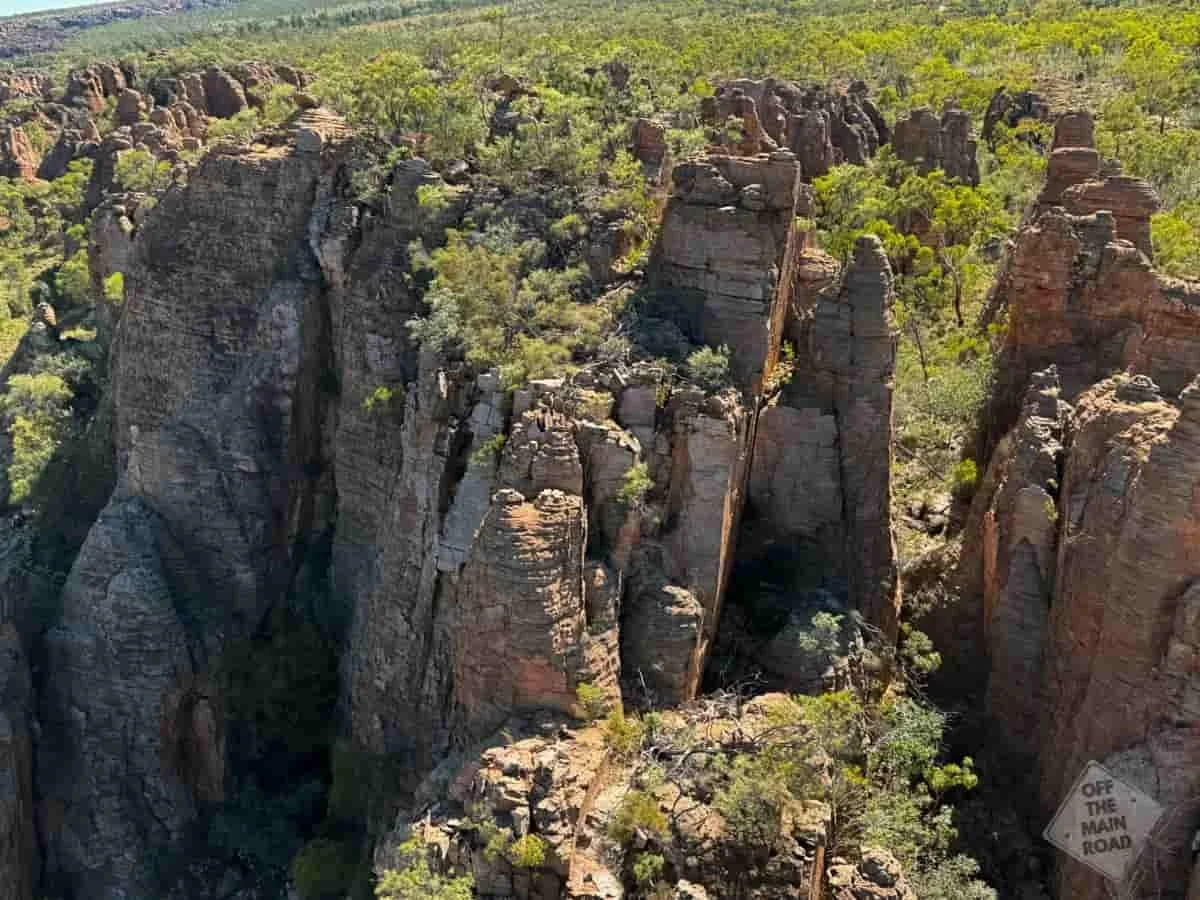
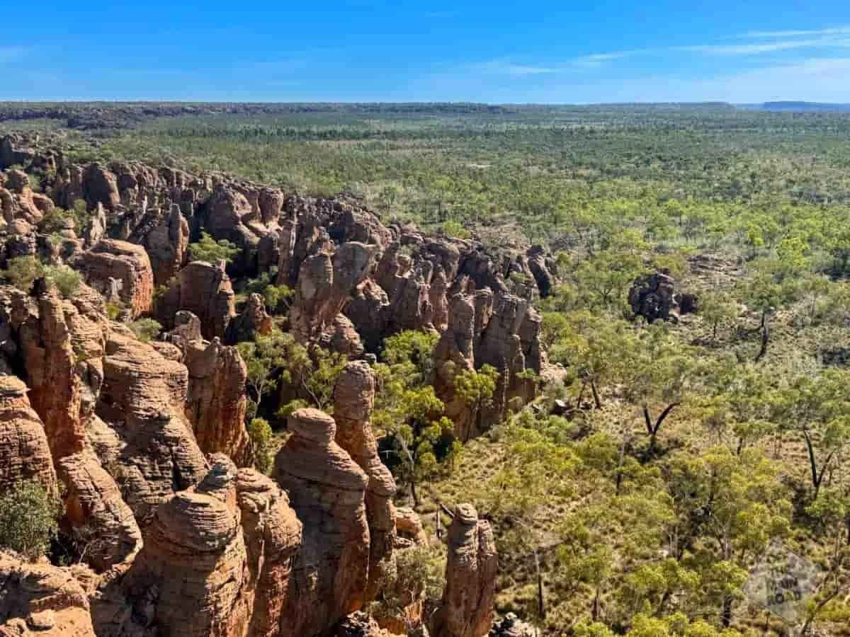
The Lost City at Cape Crawford
The Lost City we visited sits on private land on McArthur River Station, and the only access is by helicopter from Cape Crawford. It is one of several such formations in the region, all made of the same ancient sandstone, but this one has no road in and no crowds, which is a large part of why it feels the way it does.
How the Lost Cities Were Formed
The short version is a very, very long time. The sandstone here began as sand on the floor of an ancient sea more than a billion years ago, among the oldest rock of its kind anywhere on Earth. Over millions of years, that sand was buried, compacted, and cemented into solid stone, then slowly uplifted into a plateau.
Then the plateau began to break. Cracks opened along lines of weakness in the rock, and water and wind went to work on those cracks, widening them into crevices, then gullies, then narrow gorges. What was left standing between the gaps became the towers. Everything you see rising from the plain is simply the hardest stone, the parts that resisted longest while the rest weathered away around them. The stone itself is almost pure silica sand, held together by a crust of iron and minerals, which is what gives the towers their deep rust colour in the right light. And because it began as seabed, there are no fossils in it. It is older than the creatures that would have left them.
Other Lost Cities You Can Drive To
The Lost City we visited was the ‘helicopter one‘, but it is not the only Lost City out here. Limmen National Park, north and east of Cape Crawford, holds both the Southern Lost City and the Western Lost City, and both can be reached by road rather than air. Access is via the Nathan River Road and the side tracks off it, all unsealed, somewhat rough, and best tackled in a well-prepared four-wheel drive. The Southern Lost City has a camping ground close to the formations and a loop walk that runs right along the base, which would be a fine way to see them at dawn. There are no services in the park to speak of, so anyone heading in needs to be fully self-sufficient with fuel, water and supplies. It is not a drive to take lightly, but for those set up for it, you can walk among the towers without leaving the ground.
When to Visit
The dry season, roughly May to September, is the window to travel. but always check the NT Roads App or NT Parks website. The roads into Limmen close with the wet, and helicopter flights depend on the weather too. The cooler dry-season months make the walking bearable, and the light on the stone is at its best early and late in the day, when the low sun casts the towers in glowing light.
Final Thoughts
We had chased these towers a long way, up a ‘highway’ that did its best to stop us, and for a while it felt like the country did not want us to arrive. Then we flew in over the top of it all and understood what the fuss was about. Standing among stone older than almost anything else on the planet, with no one else for miles, is a quiet sort of feeling. Small, in the way the outback is good at making you feel small. Curse well and truly broken!
What's Nearby
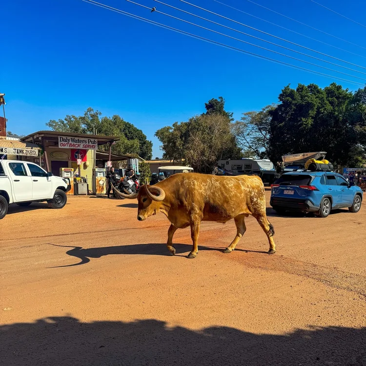
We reached the Lost City from Heartbreak Hotel at Cape Crawford, at the end of the long haul up the Tablelands Highway from Barkly Roadhouse. From here, the road carries on north through Borroloola and out toward the Gulf, or west into Limmen National Park and the drive-in Lost Cities, either one a fair reward for making it this far. Daly Waters is ready to greet you at the end of the Carpentaria Highway heading east out of Cape Crawford.
We send updates from the road out as we travel it, quietly and without the hype, through our Travel Dispatch. If that is your pace, you can join us HERE
Fast Facts
Location: Lost City, McArthur River Station, near Cape Crawford, Northern Territory
Access: By helicopter only, from Cape Crawford (Heartbreak Hotel). The Southern and Western Lost Cities in Limmen National Park are reached by unsealed 4WD roads
Traditional Owners: Gudanji, Yanyuwa, Garrwa and Mara Country
Tour: Lost City Helicopters, roughly a 30-minute flight plus around 1.5 hours walking the formations
Rock Age: Sandstone dating back more than a billion years, among the oldest of its kind on Earth
Facilities: Base yourself at Heartbreak Hotel for fuel, meals, showers and a campsite. No services at the formations themselves
Best Time to Visit: May to September (dry season)
Dog Friendly: No, Zoe sat this one out in the air conditioning at Heartbreak
Things That Could Kill You (Probably Won’t)
A semi-serious guide to surviving Australia. Mostly common sense, occasionally luck.
Doorless helicopters: Statistically fine. Emotionally, a lot to ask of a nervous chopper flyer. Follow the pilot’s instructions and keep your limbs inside the imaginary lines.
The heat: Little shade among the towers and no water out there. Carry your own and wear a hat.
Uneven ground: The walking is unmarked and rocky. Watch your footing around the bases of the formations.
The Limmen roads: If you drive to the other Lost Cities instead, the unsealed tracks are remote and unforgiving. Full fuel, full water, and tell someone your plan.
If this post helped, you can support our work here.

Other updates you may like…






Most people drive through Batchelor on the way to Litchfield. Stop, and you find a miniature Czech castle built by a homesick miner, a Cold War uranium mine, and a wartime airfield with a famous visitor.